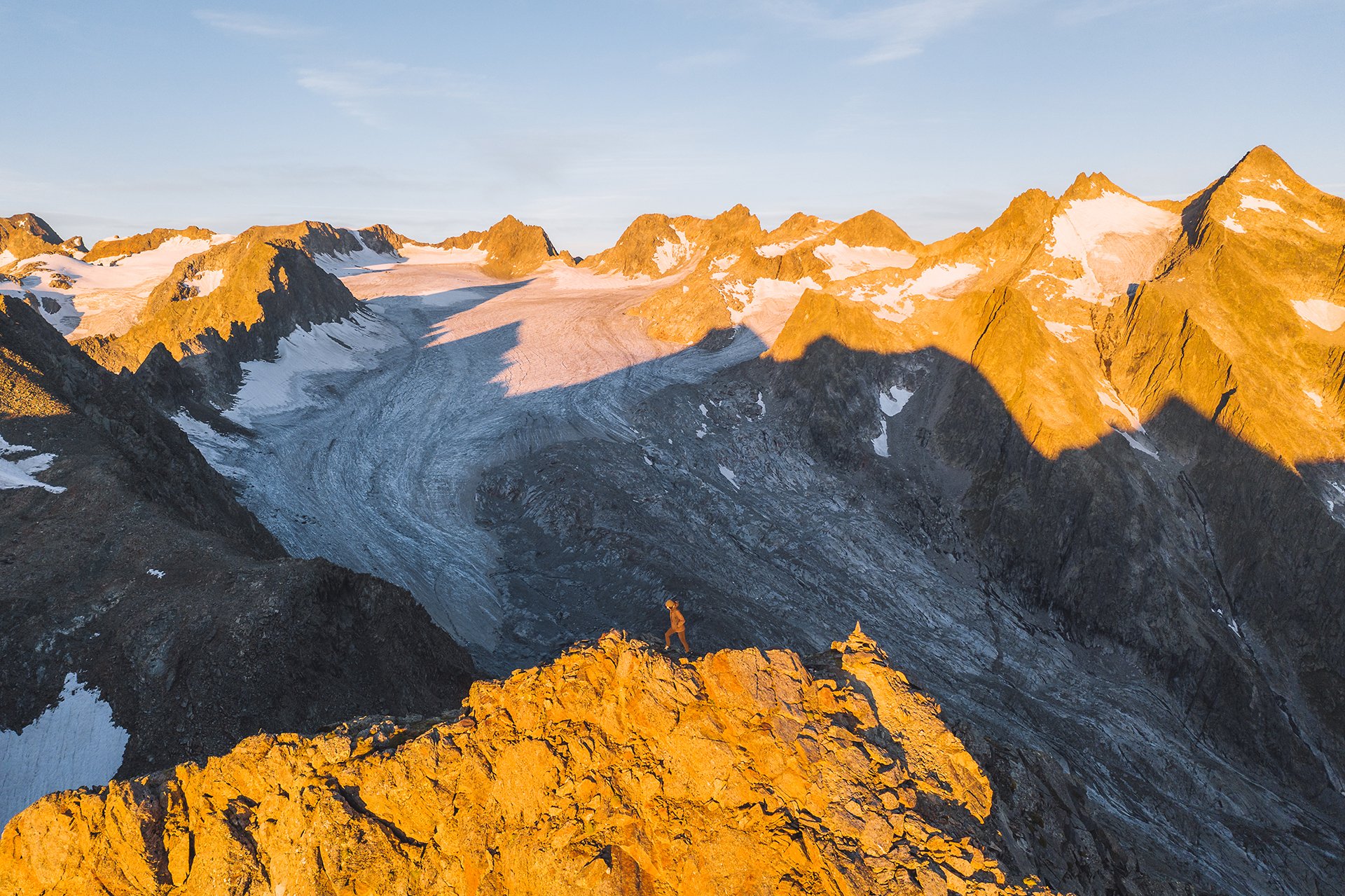
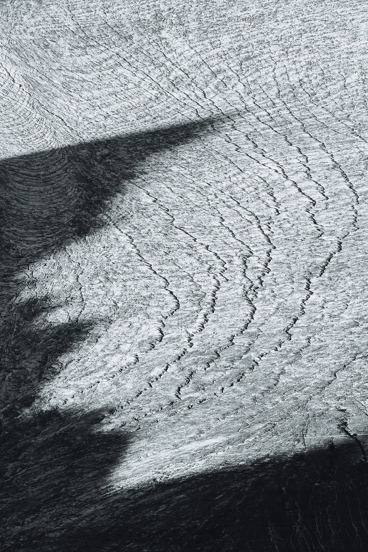
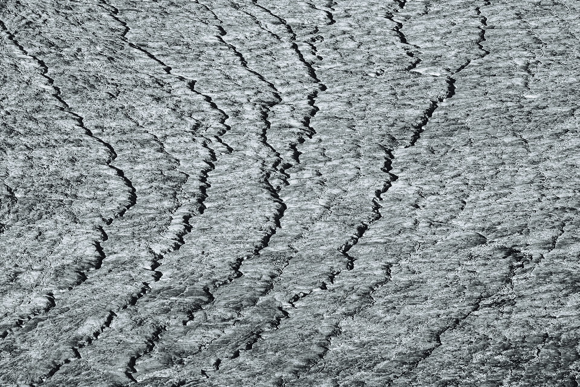
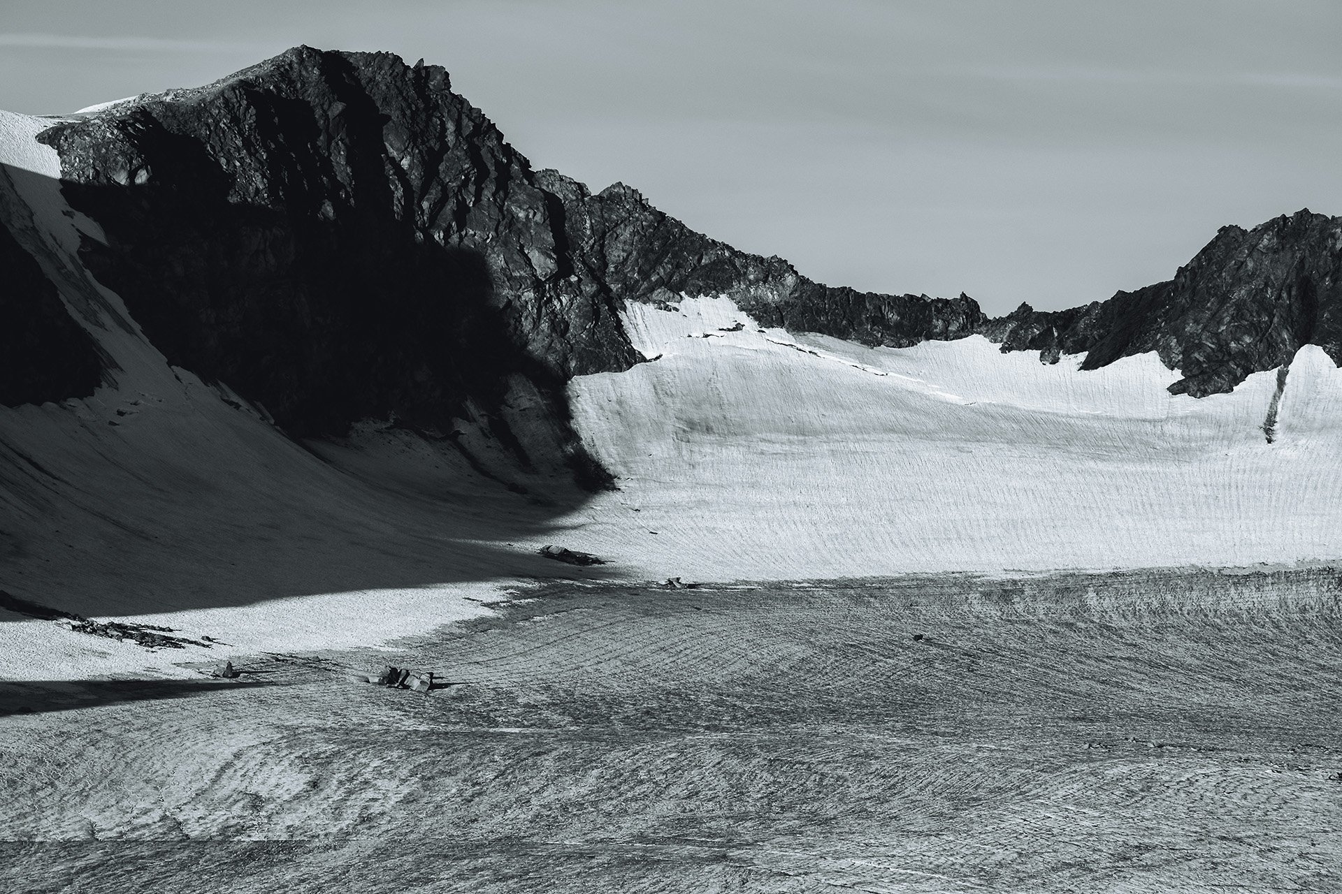
Asferico International Nature Photography Competition
One of my photos from my project Melting Giants was awarded at Asferico International Nature Photography Competition.
I am very happy to share that one of my photos from my project ‚Melting Giants‘ was highly commended in the “Man and Nature” category of the Asferico International Nature Photography Competition 2025.
The photo was taken at the Rhone glacier in Switzerland in 2023. The ice is partially covered with geotextiles sheets to delay the melting.
The awarded image: “Climate protection?”
A sad symbol for our climate protection measures? The sheets of geotextiles on the glacier look like they were half-heartedly thrown there. While parts of the ice are covered, large parts are exposed to the sun and are melting away. Moreover, the geotextiles cannot prevent the melting, but only delay it. Parallels could be drawn here with the inadequate climate protection worldwide: A patchwork quilt with large gaps and inadequate measures. Not enough to really fight climate change and not really enough to make a difference. We can only hope that this will change in the coming years. Unfortunately, it will probably be too late for the glacier in the picture and many other glaciers in the alps. The ice is melting rapidly and according to the newest studies many glaciers in the alps could be mostly gone by 2100, including the one in the photo. But it's not just the glaciers in the Alps that are threatened by climate change - the situation for the ice giants is bad all over the world. The consequences include rising sea levels, which threaten millions of people and various animal species worldwide. And ultimately, the melting of the ice masses is just one of many consequences of climate change that threaten humans, animals and plants alike.
Melting Giants – Glacier ice and equilibrium lines
Our glaciers are melting. But how do glaciers function, and what constitutes a glacier being out of balance? Read on to find out how long it takes for new glacier ice to form and what a dying glacier looks like.
Our glaciers are melting. But how do glaciers function, and what constitutes a glacier being out of balance? Read on to find out how long it takes for new glacier ice to form and what a dying glacier looks like.
Glacier ice:
New ice forms when more snow accumulates in one place over several years than melts during the summer months. Over time, the snow becomes increasingly compressed by its own weight. The time it takes for glacial ice to form depends on the climate. This process can take anywhere from five years to several decades. Therefore, the survival of a glacier depends on regions where snow remains for many years over summer. This brings us to the topic of the “equilibrium line”.
Cracks in the ice
Equilibrium line
A (theoretical) line on the glacier at which accumulation and ablation (the loss of ice) are in balance. When the glacier is in balance, the areas of the accumulation and the ablation zones are roughly in a 2:1 ratio. That means that about two thirds of the glacier is still covered with snow, while only one third of the ice giant is snow free. In the upper part, that is still covered with snow, new glacier ice can form (accumulation zone). In the lower part, the ice is melting (ablation zone).
I have marked where the equilibrium line would be located approximately. However, as you can see, almost all the snow on the glacier has disappeared. This glacier is clearly out of balance. It cannot sustain its current size because more ice is melting than new ice can form.
It has now become the norm for most glaciers in the Alps to be almost snow-free by the end of summer. As mentioned above, a glacier is in equilibrium when about two thirds of the ice is covered with snow. That is clearly not the case.
A satellite image of Hintereisferner from summer 2024. It is clearly visible that the glacier is free of snow in many places. Only the uppermost part is still partially covered by snow. This means that new ice can only form there.
Mass balance
This is a year-by-year measure of the health of a glacier, reflecting the balance between accumulation and ablation. If a glacier has a positive mass balance in a given year, it gained more mass through accumulation than was lost through ablation. The reverse is true for a negative mass balance.
A scientist taking measurements for the mass balance of a glacier during summer.
Dead ice
By definition, a glacier is a body of ice that moves downhill. In other words, the ice flows. Once a glacier has melted so much that the ice becomes stagnant and stops moving, it is called dead ice. By the way, glaciers move at speeds ranging from a few metres up to a few kilometres per year. The flow speed is determined by the slope inclination, ice mass and temperature.
Melting Giants – The future of glacier ski resorts?
Impressions from a visit to glacier ski resorts in November 2024. Soon there won’t be any “glacier” ski resorts left.
Glacier ski resorts are struggling with the retreat of the glaciers. When the ice melts, rocks and uneven surfaces are left behind. These must be straightened and cleared of large stones in order to guarantee safe skiing.
If little snow falls at the beginning of the season, it is also already difficult for these ski resorts to maintain operations. Even at high altitudes, snow cannons are already being used to produce artificial snow for skiing.
A visit in early November 2024 revealed a frightening picture. Slopes that I skied on around 12 years ago in early October are now ice-free. Several excavators are being used to level melted areas and make them ready for skiing. Ice is also being actively dredged away to reattach the lift supports.
In the near future, glacier ski areas will be ice-free. Skiing will then still be possible, but will depend on snowfall and artificial snow. There won’t be any “glacier” ski resorts left in Austria.
Here are a few visual impressions from November 2024.
European Wildlife Photographer of the Year 2024 and Melting Giants Exhibition
Success in the European Wildlife Photographer of the Year 2024 contest and the premier of the “Melting Giants” exhibition.
What a weekend! I am really happy and proud to announce that my image “Alpine contrasts” was highly commended in the landscapes category of the European Wildlife Photographer of the Year 2024 contest.
Furthermore, Christopher Meyer and I had the premier of our “Melting Giants” exhibition at the festival. We displayed 19 large prints. It was really special seeing all those photos printed in such a large format. Below are few photos from the event. If you want to see it all in colour, visit one of our next exhibitions next year. Make sure to sign up to my newsletter to stay up to date and to get infos where the next exhibitions will take place. Are you interested in hosting the exhibition? Then please contact me. :)
Melting Giants – Hintereisferner with glaciologist Lindsey Nicholson
I think it is always important to listen to scientists, as they are specialists in their field of research and know it best. So in August, I had the chance to accompany glaciologist Lindsey Nicholson on a field trip to Hintereisferner to collect data and do field work. Hintereisferner is a typical alpine valley glacier with a long, pronounced tongue.
I think it is always important to listen to scientists, as they are specialists in their field of research and know it best. So in August, I had the chance to accompany glaciologist Lindsey Nicholson on a field trip to Hintereisferner to collect data and do field work. Hintereisferner is a typical alpine valley glacier with a long, pronounced tongue.
The format of this blog post is a little bit different this time. Most of the infos are in the captions of the images. So take your time and read it all. :)
View over the tongue of Hintereisferner towards the valley. The glacier is one of the biggest in Tyrol.
A glacier as a laboratory
Research at the Hintereisferner has a long history. Since over 100 years, glaciologist have observed and analysed the ice giant. That is why it has been classified as one of the key “reference glaciers’” by the World Glacier Monitoring Service. The main focus is on measuring the mass balance of the glacier each year. Scientists of the University of Innsbruck measure the melting of ice, called ablation, during the summer months and the addition of snow on the ice, called accumulation, during the winter. In addition, Hintereisferner is also serving as an Open Air Laboratory.
Meet Lindsey Nicholson
Lindsey has a Ph.D. in Glaciology, is Assistant Professor at the Department of Atmospheric and Cryospheric Sciences (ACINN) at the University of Innsbruck, is a co-founder of Girls on Ice, has worked on glaciers all around the world and has published several academic papers. Together with her colleague Rainer Prinz, she is responsible for the data collection for the mass balance of Hintereisferner.
About half way to Hintereisferner. About 100 years ago this valley was still filled with ice, as Lindsey explains to us.
It's a long way to the glacier, but we can finally see the ice in the distance. In case you are wondering: The wooden sticks are used for the ablation stakes to measure the melting.
In 1979 the glacier ended here, today the end is in the far distance.
At glacier's end.
We are on the glacier, even though it does not look like it. Beneath the layer of rocks is ice. The first several hundred meters of the Hintereisferner's tongue are covered with this debris.
We reached the uncovered ice. Now it's only ice beneath our feet for a few kilometres.
An ablation stake. One stick is two meters long. 5 sticks are connected together and placed in a 10 meter deep hole in the ice. Two sticks have melted out, thus the glacier lost 4 meters of thickness at this location. In November, Lindsey told me that at the last data collection in September 2024, the stick had melted out further, resulting in a total loss of ice thickness of 5.5 metres in just one year.
The loss of ice varies, depending on where you are on the glacier. Of course the ice in lower elevations melts faster. But also the ice close to the mountain slopes on each side of the glacier melts faster.
Lindsey measures how much of an ablation stake has melted out of the ice. By the way, during a hot summer day, between 10 to 20 cm of ice can melt.
All measurements are written down. Every stake has an identification number.
The vastness of Hintereisferner
After a successful first day on the glacier, we hiked up to a small hut, which the University of Innsbruck had installed for the scientists at over 3.000 meters above sea level. It is a basic shelter with no running water and no electricity, however the views over the Hintereisferner are incredible.
The view from the hut.
The next day started earlier. Sunrise over Hintereisferner.
Heading back down to the glacier to redrill ablation stakes and collect data.
Out of balance?
At this point, you might ask yourself, what the heck is a mass balance? Simply put, it is the difference between the ice gained during winter and the ice lost in summer. So a negative mass balance means that the glacier is losing ice and is receding. The ACINN calculates the mass balance for the Hintereisferner every year based on the data collected. Since 1985 the glacier had only negative mass balances. The year 2022/23 was the third worst since the start of measuring in 1953. It is clear that the glacier is clearly not doing well and is melting away more and more. I won’t bother you with more scientific terms or numbers, but if you are interested in that, have a look at the website of ACINN. The complete report for this year (2023/24) should be available soon. The total mass balance of 2023/24 was -1100 kg/m2. This corresponds to a loss of glacier ice equal to a 110 cm thick layer of water on the entire glacier surface. According to glaciologist Rainer Prinz the Glacier Loss Day 2024 of Hintereisferner was around 10th August 2024. The Glacier Loss Day marks the day a glacier has lost all the mass gained during the previous winter and from now on melts constantly. It serves as an indicator of a glacier’s health and is comparable to the Earth Overshoot Day.
A satellite image of Hintereisferner from 28.08.2024. The glacier is almost snow-free. Only the top parts have some snow cover left. Sadly, this is the new normal for our glaciers in the alps. They are out of balance and cannot form enough new ice to compensate for their losses in summer. Normally at least 1/3 to ½ of the glacier should be still covered with snow at this time of the year. © Sentinel Hub EO Browser
This futuristic design is the steam drill that used to melt holes in the ice. Water is filled in the container and heated with gas to create steam.
The hose used to make the holes for the ablation stakes. The steam comes out at the tip.
The drilling takes some time. First you have to wait until pressure is high enough, then the hose is slowly melting its way in the ice.
Almost there. 10 meter (marker on the hose) deep holes are melted into the ice, then 5 wooden sticks, each two meter long, are connected with plastic tubes and inserted into the hole.
Checking the weather station on Hintereisferner.
Another ablation measurement device, that uses sonic waves and needs to be redrilled, so that it does not melted out. It measures the distance between the small, black device on the crossbar and the ice surface. During summer, the ice melts and distance between the surface and the crossbar grows. The data is stored on a memory card in the box on the right.
Changing memory cards.
After the redrilling, Lindsey measures the difference between the sonic waves sensor and the ice surface.
Measuring another ablation stake. Again over 4 meters of ice loss.
Crossing small streams on the ice.
Two long days are coming to an end. However, there is still a 11 kilometre hike back the valley. With the last sun rays of the day, we reach the car park.
Details
Details
Details
Details
Melting Giants – Construction site: Glacier Ski Resort
Visiting a glacier ski resort during summer feels like being on a huge construction site.
If you visit a glacier ski resort during summer, it feels like being on a huge construction site. Big trucks loaded with boulders and dirt driving up and down the mountain, excavators removing huge boulders and levelling slopes. Blasting work is also common. Why? Because the retreating glaciers are leaving big rocks and dirt behind, which need to be removed and levelled to create safe skiing slopes. Additionally even glacier ski resorts now need to build reservoirs for snowmaking. Lastly, at the end of summer, you can find excavators on the glacier, digging up the ice to bury the lift posts, that melted out of the ice during the summer heat. Or they use the ice to fill up crevasses.
Melting Giants – Retreat of Lüsener Ferner (2016-2024)
During the last years, I have visited the Lüsener Ferner several times and have witnessed its retreat due to climate change. Take a look how the glacier has changed.
The Lüsener Ferner is the second largest glacier in the Stubai Alps and currently (as of 08.2024) covers an area of around 2.6 square kilometres, with a downward trend. It is located in the Sellraintal valley and can only be reached via challenging alpine trails. It stretches from just under 2,750 metres to over 3,200 metres and is a good three kilometres long. Unfortunately, it is difficult to find information on the thickness of the ice. In a study from 2010 (https://doi.org/10.3189/2013AoG64A108), I was able to find an average value for the ice thickness of 58 metres, but take that one with caution.
Although the glacier faces north-east, the ice surface is exposed to the sun for a large part of the day in summer, as the surrounding mountains are only up to 300 to 400 metres higher. As a result, a lot of ice is melting on hot, sunny summer days.
View of the Lüsener Ferner, 20.08.2024. Almost no snow left on the ice.
Since 2016, a person I don't know has been screwing a metal plate with the year onto the edge of the ice every year at the beginning of September. This makes it easy to follow the retreat of the glacier without having to be there every year. Many thanks at this point to this person. If anyone knows the person, please let me know, I would like to take a photo of him/her putting up the sign.
I have a personal connection to the Lüsener Ferner myself, as it was the first really big ice giant that I marvelled at. In October 2018, I stood on the top of the Rinnenspitze and looked down onto the vast ice. Since that day, glaciers have held a special fascination for me. In 2022, I climbed up from the Sellraintal valley to the end of the glacier for the first time and have been there every year since. During the last years, I have witnessed the melting of the ice up close. In the following, I will show you the steady retreat of the glacier with photos from recent years.
Unfortunately, I was unable to find any official numbers on the decline, as the glacier is apparently not measured annually. As you can see in the following pictures, the Lüsener Ferner has lost both length and thickness in recent years. It is remarkable that it has lost a good one to two metres in ice thickness every summer since 2021. If you now consider that the average ice thickness at the beginning of the 2000s was around 58 metres, then it is easy to calculate how quickly large parts of the glacier will disappear if the melting continues at a rate like that. Another eyeopening observation is that in recent years the ice has been completely free of snow at the end of the summer, with very few small exceptions. No snow on the ice means that no new ice can form. The glacier is completely out of balance and is ‘dying’, so to speak.
The first two pairs of images show the change between 2018 and 2024. The left-hand images were taken on 17 October 2018 from the top of the Rinnenspitze, the right-hand images on 20 August 2024 from the same perspective.
The following photos show the loss of thickness and length of the Lüsener Ferner up close from the edge of the ice.
At the beginning of September 2023, the sign with the red 23 was attached to the edge of the ice. Just about a year later, on 29 August 2024, almost 2 metres of ice thickness had melted.
At the beginning of September 2021 (sign), the ice still reached as far as this sign. On 29 August 2024 (photo taken), you now have to climb down several metres to reach the edge of the ice.
There is an estimated height difference of a good 5 metres between the ice edge in September 2022 (sign) and 29 August 2024 (photo taken).
Since the sign was installed in September 2023, over 2 metres of ice have melted at another location, as of 29 August 2024.
September 2018 (sign) vs. 29. August 2024, when the photo was taken.
In September 2016 the edge of the glacier was right here at the sign. Now, 8 years later, the ice has retreated quite a bit. The photo was taken on 29. August 2024.
At a different place at the glacier, there is another sign from September 2016. This photo is from September 2023, so seven years difference.
Standing where the ice was in September 2020 and looking towards the glacier. Photo was taken 29.08.2024.
Standing where the ice was in September 2021 and looking towards the glacier. Photo was taken 29.08.2024.
A few meters difference between September 2023 (sign) and where the ice is now (29.08.2024).
One year difference: September 2022 (sign) vs 10.09.2023 (photo taken)
A few years ago, the ice was still above the hill on the left. The photo was taken on 10.08.2023, standing on the ice.
Neusiedler See June 2024
A short recap and a few photos from my trip to Neusiedler See National Park in eastern Austria with two other photographers in June 2024.
In June, I visited the Neusiedler See National Park in eastern Austria with two other photographers. It was our first time there, but we got some tips for locations from other photographers (thank you again). After arriving just in time to for sunset at the campground St. Andrä am Zicksee on the first day, we wasted no time and went straight to the lake next to the campground with our cameras.
After a successful first evening and a really short night, we took our bikes to explore more of the National Park. I was especially amazed by all the colourful flowers. We pretty much spent the whole day riding our bikes and photographing birds. Luck was on our side and we even found a long-eared owl with its chicks. Back at the campground we did not stop, as we pitched our tents next to a family of Ziesels (a species of ground squirrel).
The next day started early again and was once more full of photography. After we got back to our tents at night, it started to rain heavily. During the night, I noticed, that my old tent is not 100% waterproofed anymore. Luckily, it was rather warm and our last night. The next morning was rather slow. After packing up our stuff we visited a bee eater colony before heading back home.
Below you can see some results from the trip. Enjoy :)
Melting Giants – Covered
In late June 2023 my friend Christopher and I visited the Rhone Glacier in Switzerland to take photos for the Melting Giants project. At this glacier, geotextiles are used to delay the melting of the ice. These textiles on the glacier create a surreal landscape, showcasing our helplessness with climate change.
In late June 2023 my friend Christopher and I visited the Rhone Glacier in Switzerland to take photos for the Melting Giants project.
At this glacier, geotextiles are used to delay the melting of the ice. This method is only suitable for small areas to delay melting.
These textiles are not a sustainable solution nor will they prevent the glacier from eventually melting.
Geotextiles are used for economic reasons, so that ski resorts have enough snow to open early or that there is still an ice cave to visit at the Rhone Glacier. They won‘t save a glacier!
However, these textiles on the glacier create a surreal landscape, showcasing our helplessness with climate change.
Here are a few photos from that day.
Enjoy :)
Tenerife – A travel report
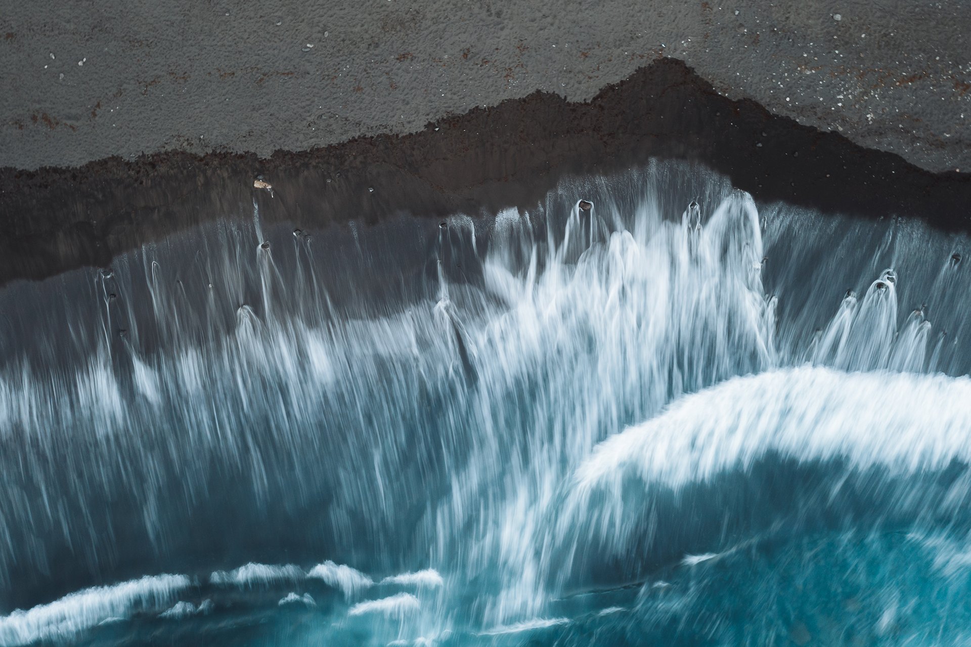
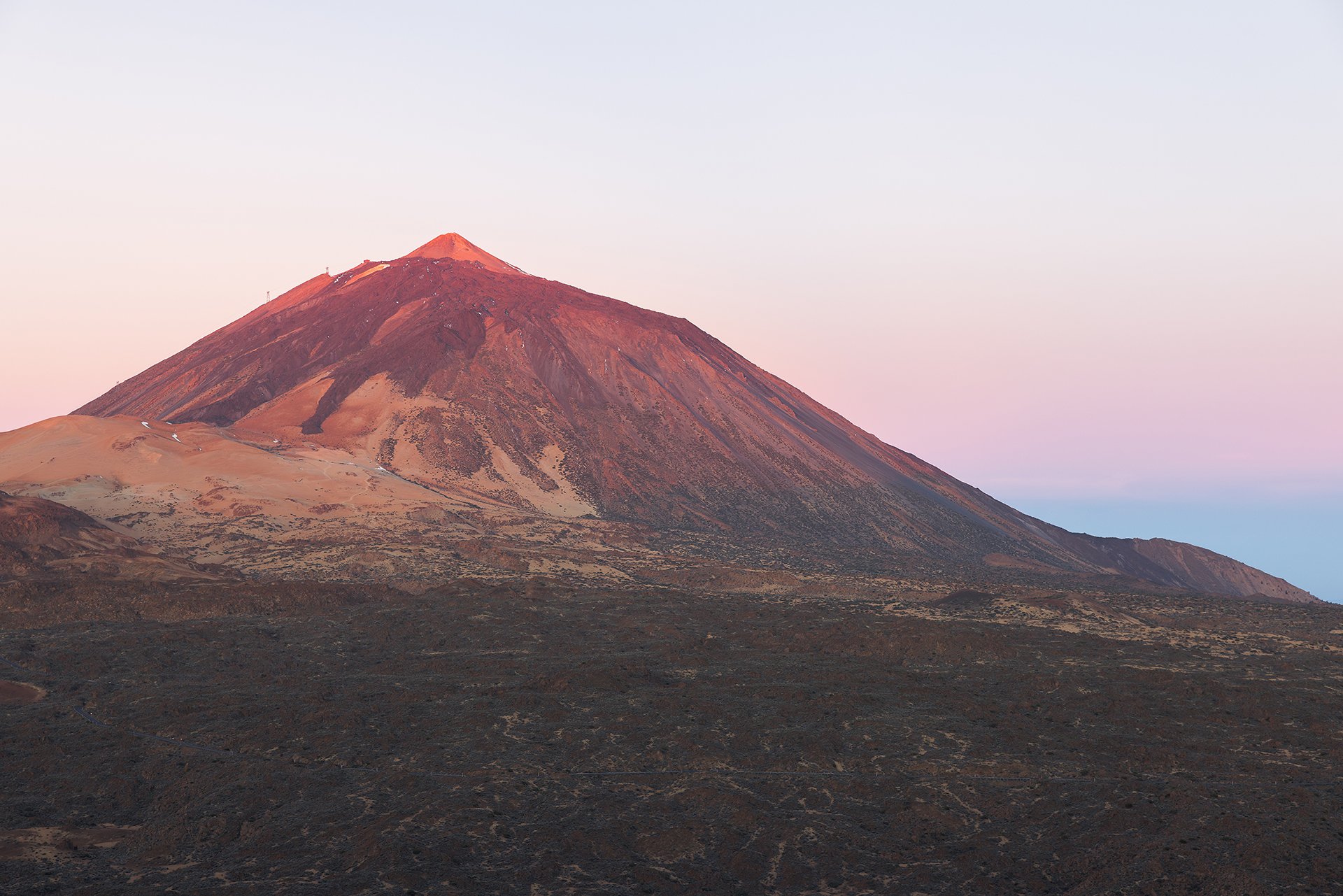
In the middle of the wild Atlantic Ocean off the coast of Africa, the Canary Islands brave the elements. Tenerife is the largest of the archipelago and also the most diverse. Rugged cliffs, black sand beaches, enchanted forests and moon-like volcanic landscapes. Towering above it all is the mighty Teide, Spain’s highest mountain at 3,718 metres. Sounds like a good mix of beach holiday and hiking.
In the middle of the wild Atlantic Ocean off the coast of Africa, the Canary Islands brave the elements. Tenerife is the largest of the archipelago and also the most diverse. Rugged cliffs, black sand beaches, enchanted forests and moon-like volcanic landscapes. Towering above it all is the mighty Teide, Spain’s highest mountain at 3,718 metres. Sounds like a good mix of beach holiday and hiking.
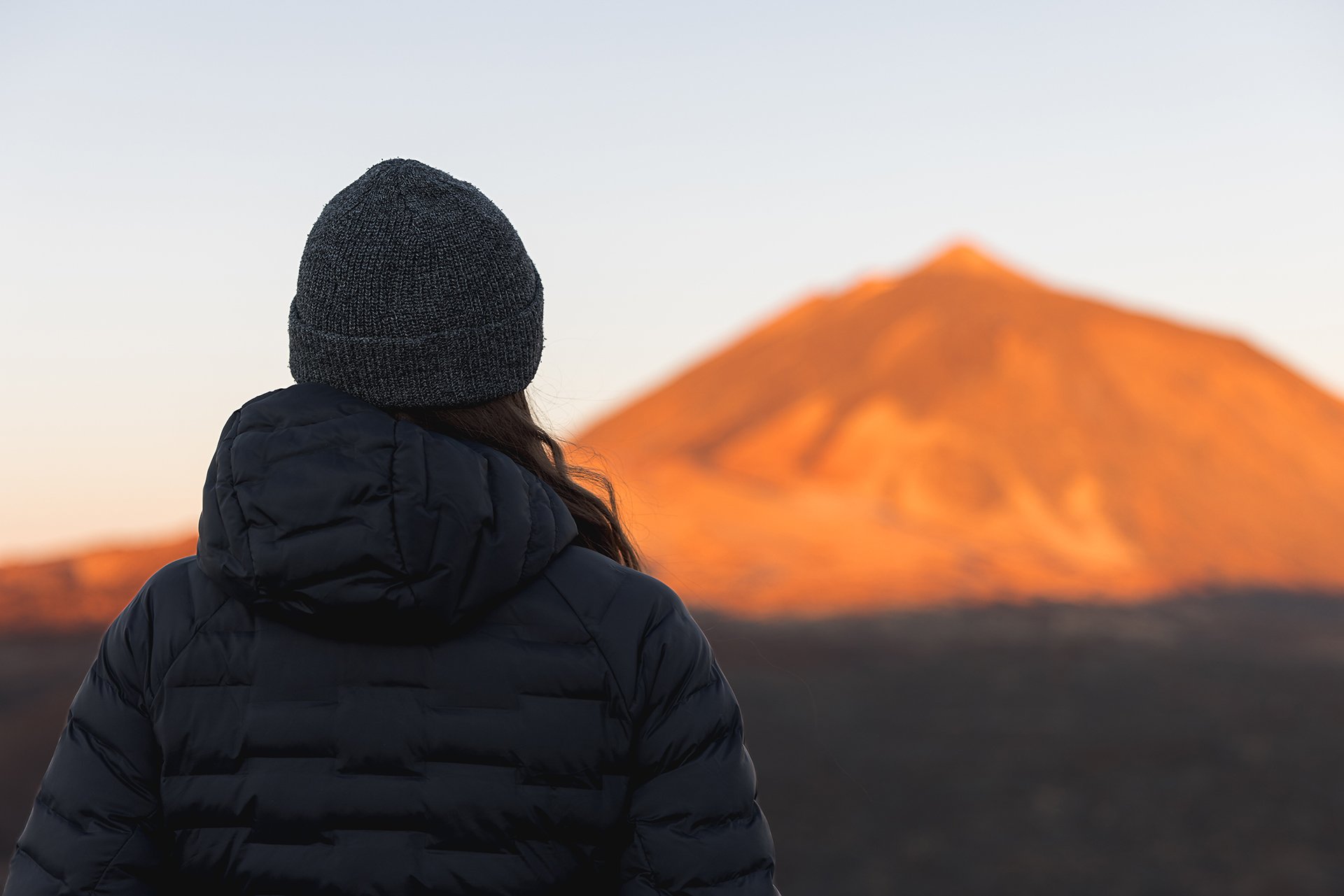
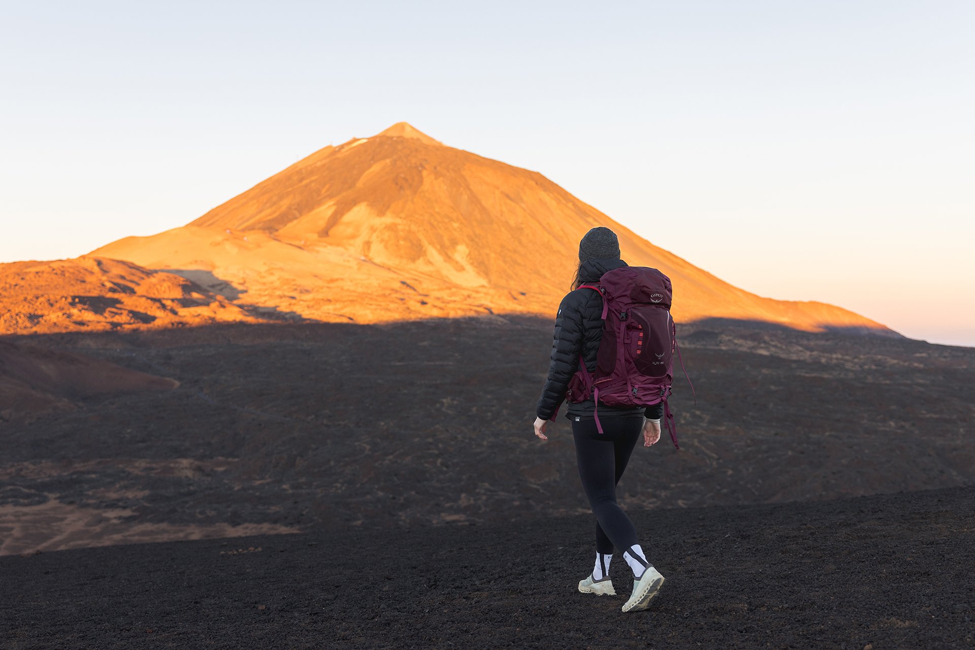
So in March, my girlfriend and I went to Teneriffa for two weeks with our swimming trunks and camera in our bags. We were greeted by pleasant 21 degrees and sunny weather. But we didn’t just sunbathe on the beach or enjoy coffee and delicious snacks in the towns (Tip: If you’re ever in Puerto de la Cruz, you should definitely try the croissants at the little bakery La Casa del Panadero. But beware, they are quite calorie bombs). No, there were also a few hikes on the programme. Somehow we had to work off all those calories, especially since my girlfriend and I were supposed to run a trail run at the beginning of June.
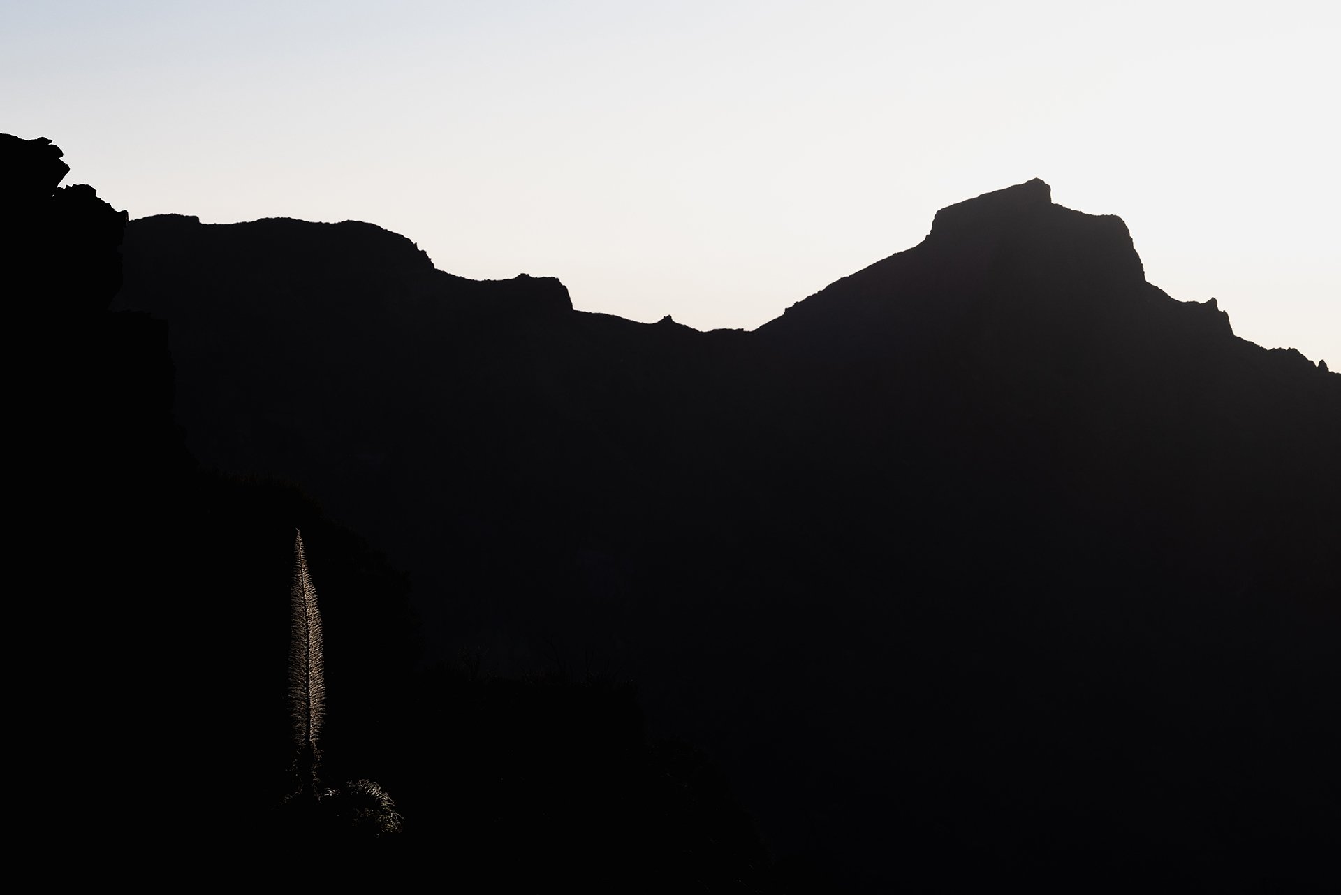
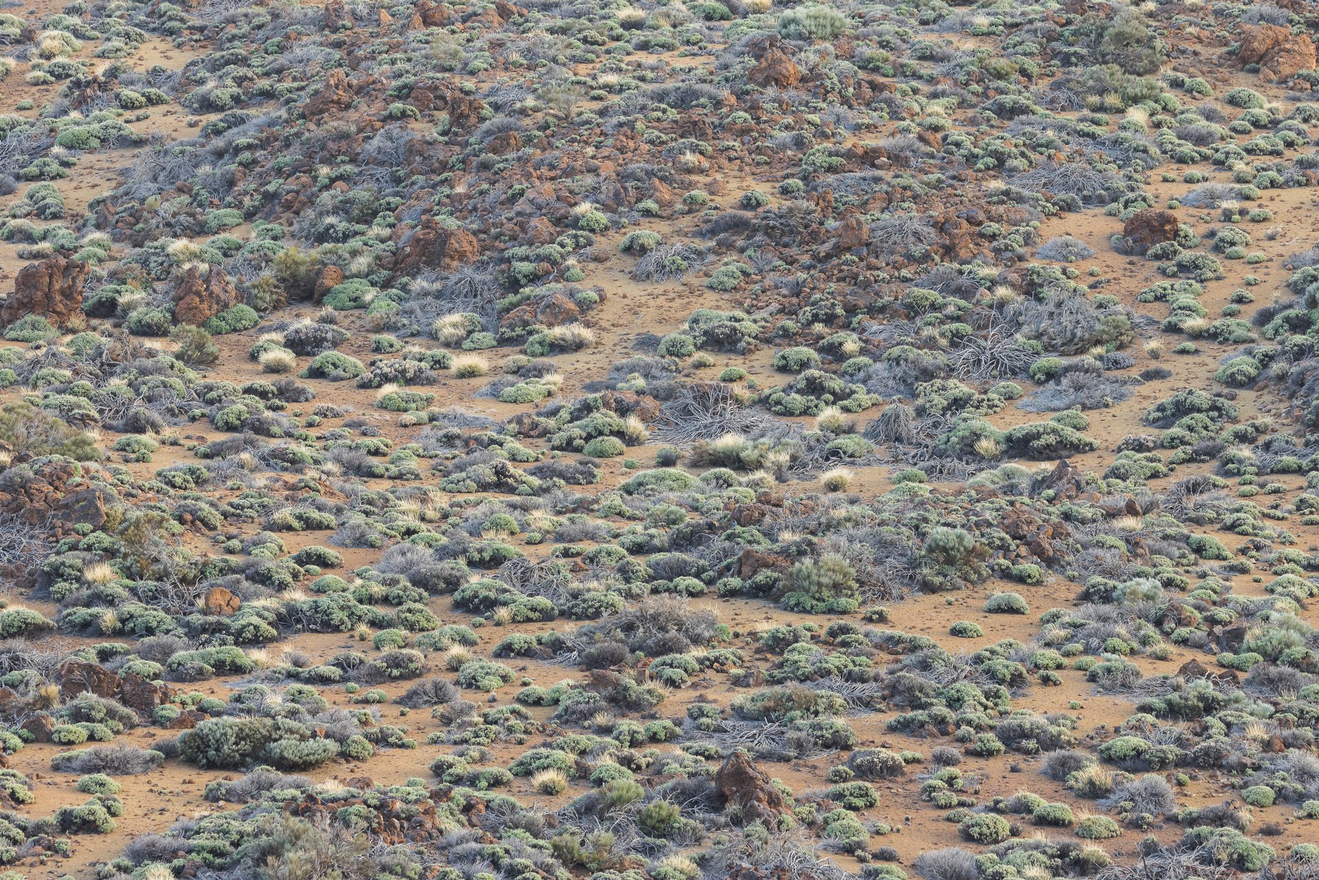
I was particularly taken with the barren volcanic landscape around Mount Teide, which offered countless opportunities for hiking and photography. In general, Tenerife offers new motifs at every corner, from landscapes to wildlife. Even a short sunset walk on the beach can turn into a longer photo session. Having a photographer as a boyfriend has its advantages but also disadvantages. 😉
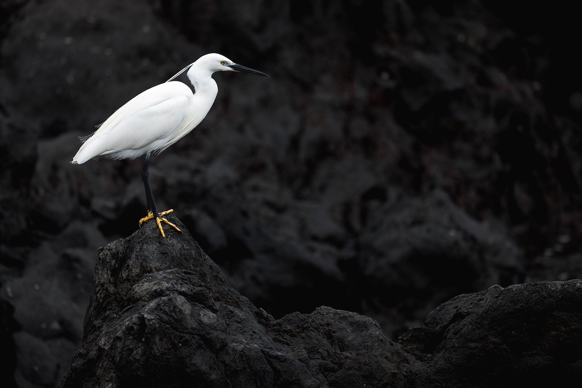
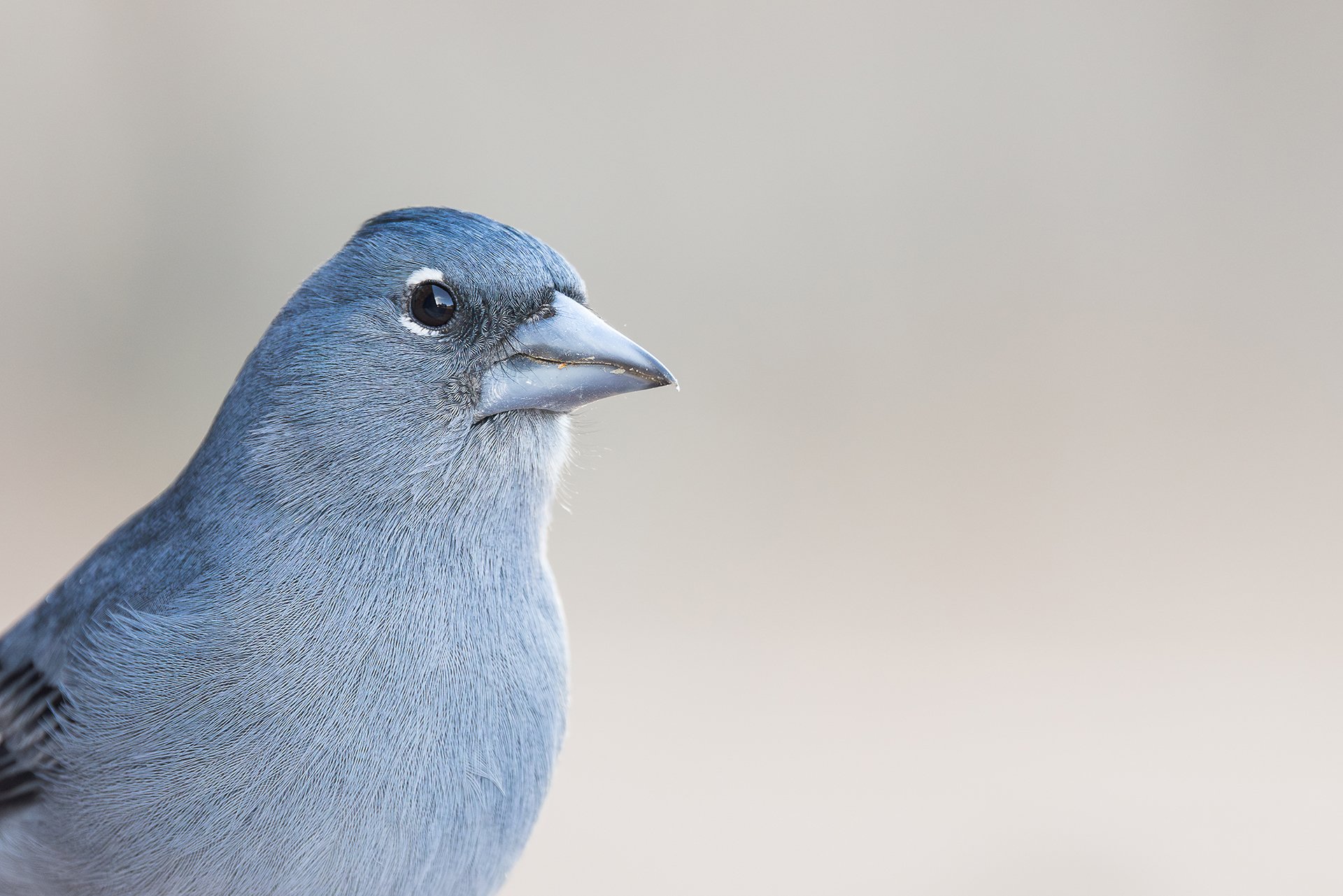
So, of course, a sunrise tour was not to be missed and even short stops at vantage points could drag on when some Tenerife blue chaffinches, an endemic, blue-coloured finch species, showed up. However, I also entered unfamiliar terrain and took pictures of my girlfriend for her website.
As a travel time, I can recommend March. Temperatures are not too hot and the weather is usually good. It’s great for outdoor sports activities, but you can also relax on the beach and swim in the ocean. A rental car makes it much easier to explore the island with its winding, sometimes narrow roads. Due to the size of the island, it is advisable to change accommodation several times, as otherwise you will be travelling a lot by car.
After the rain
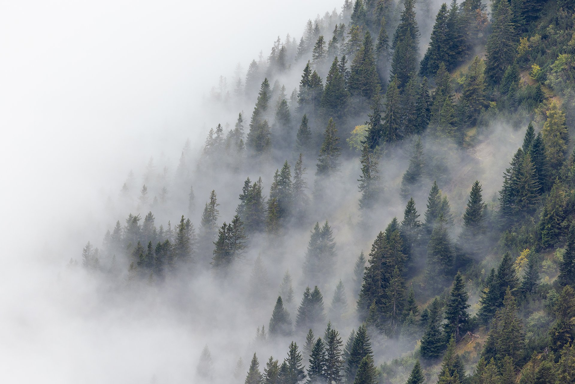
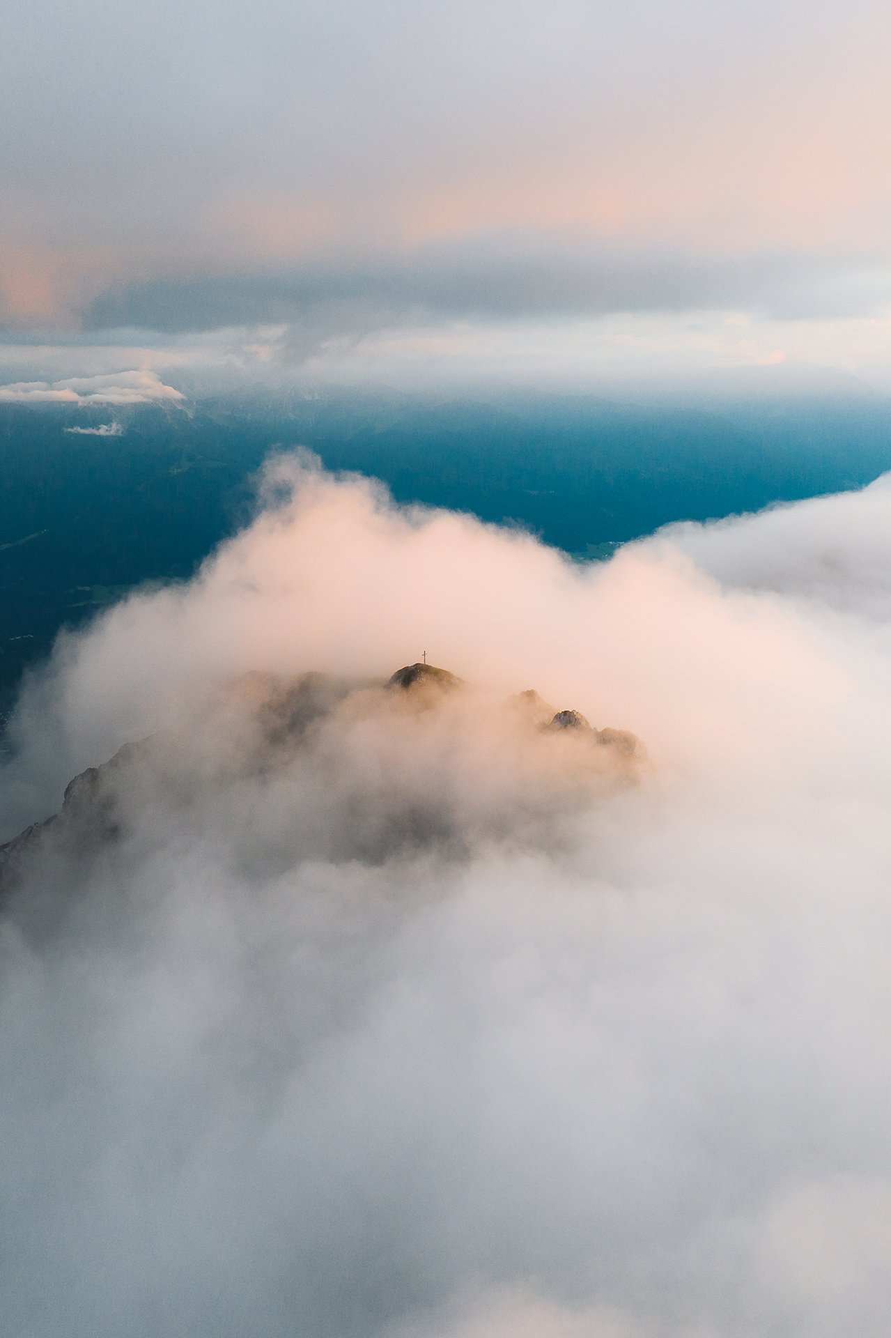
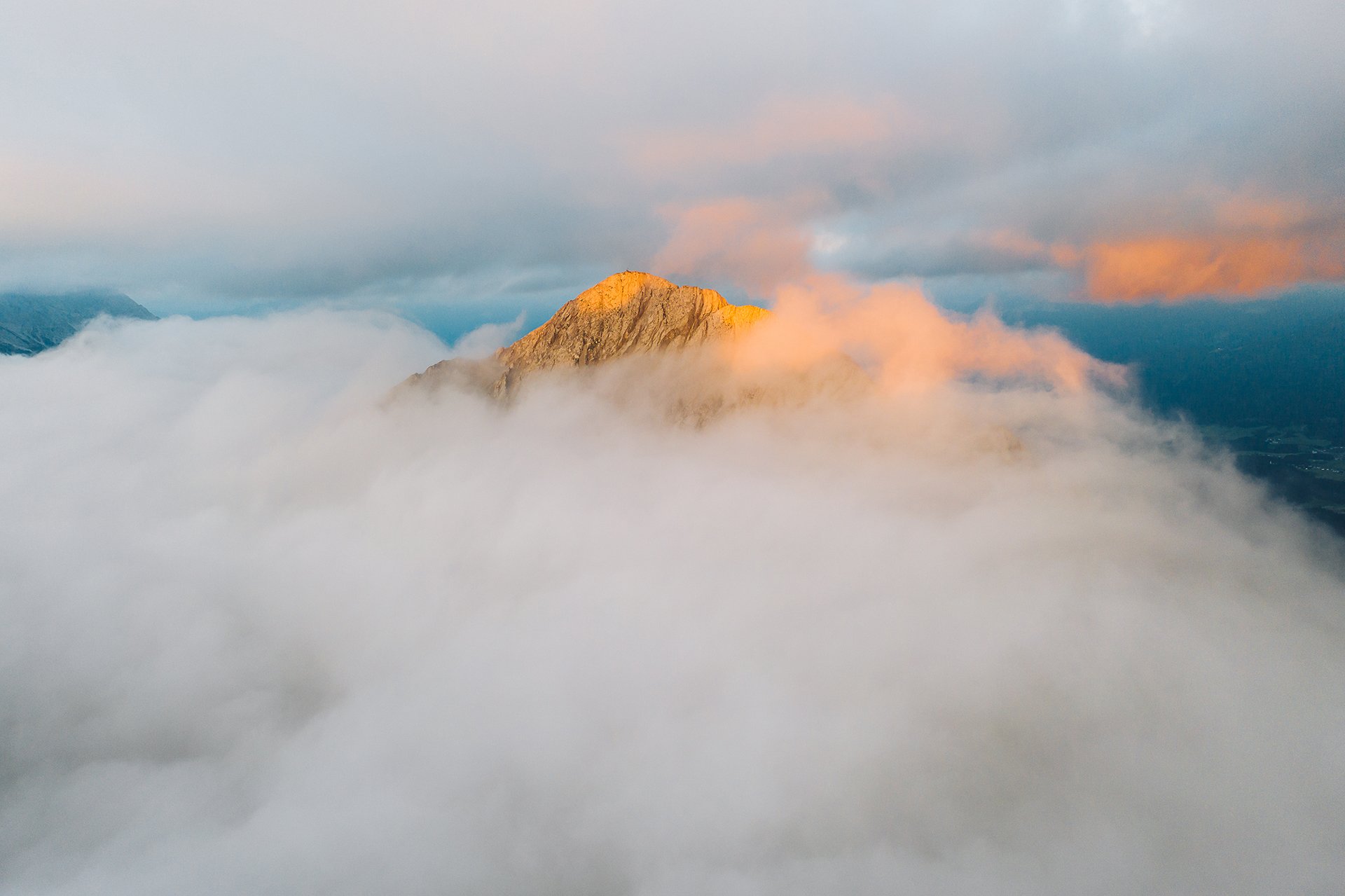
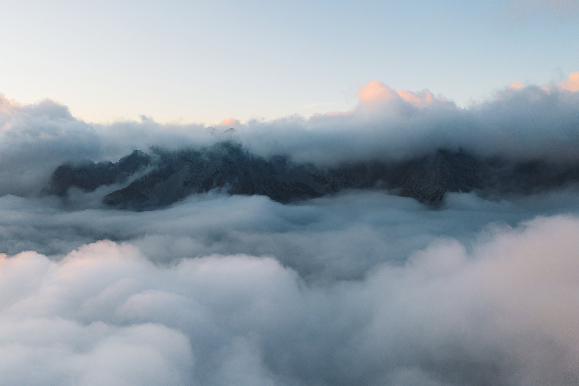
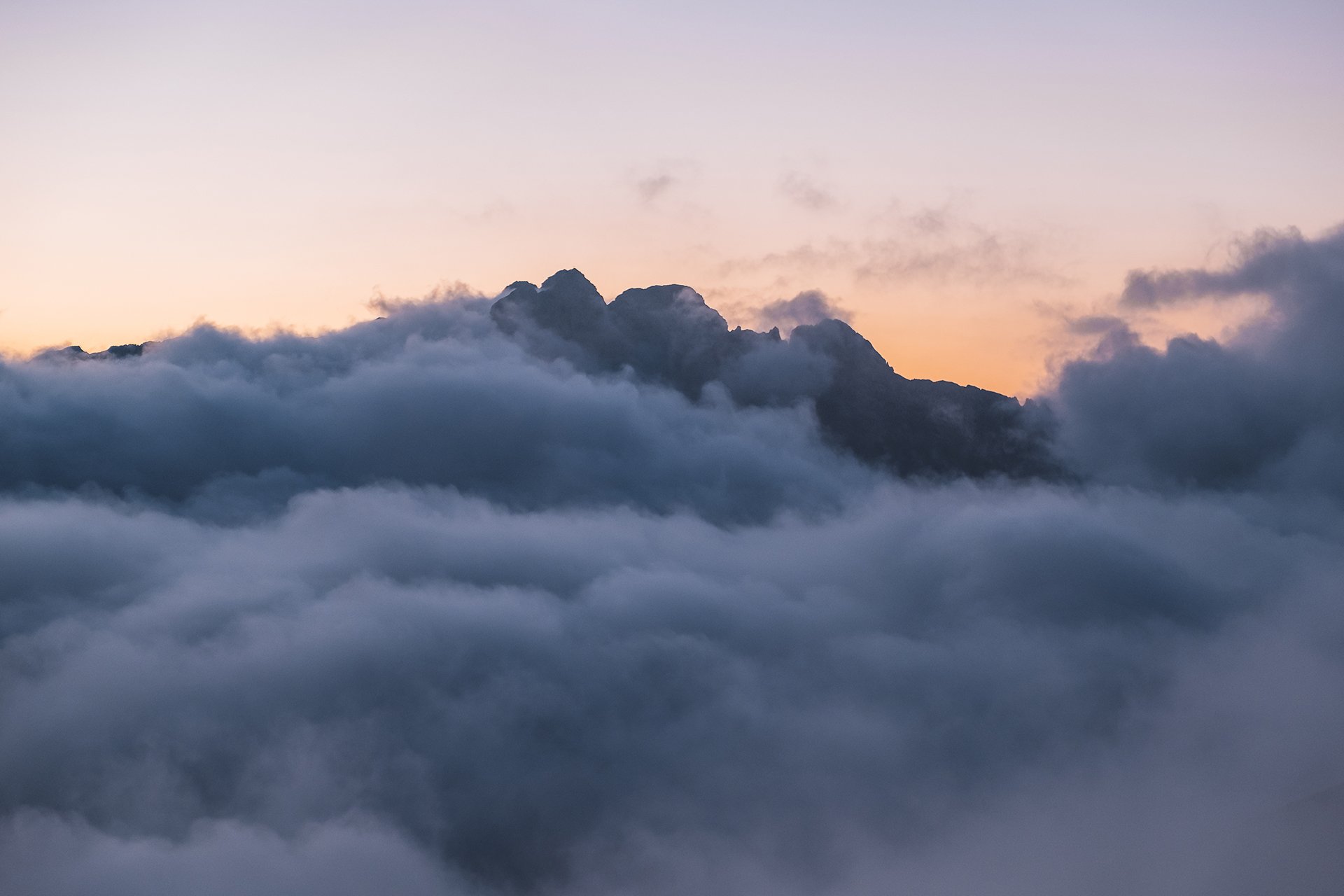
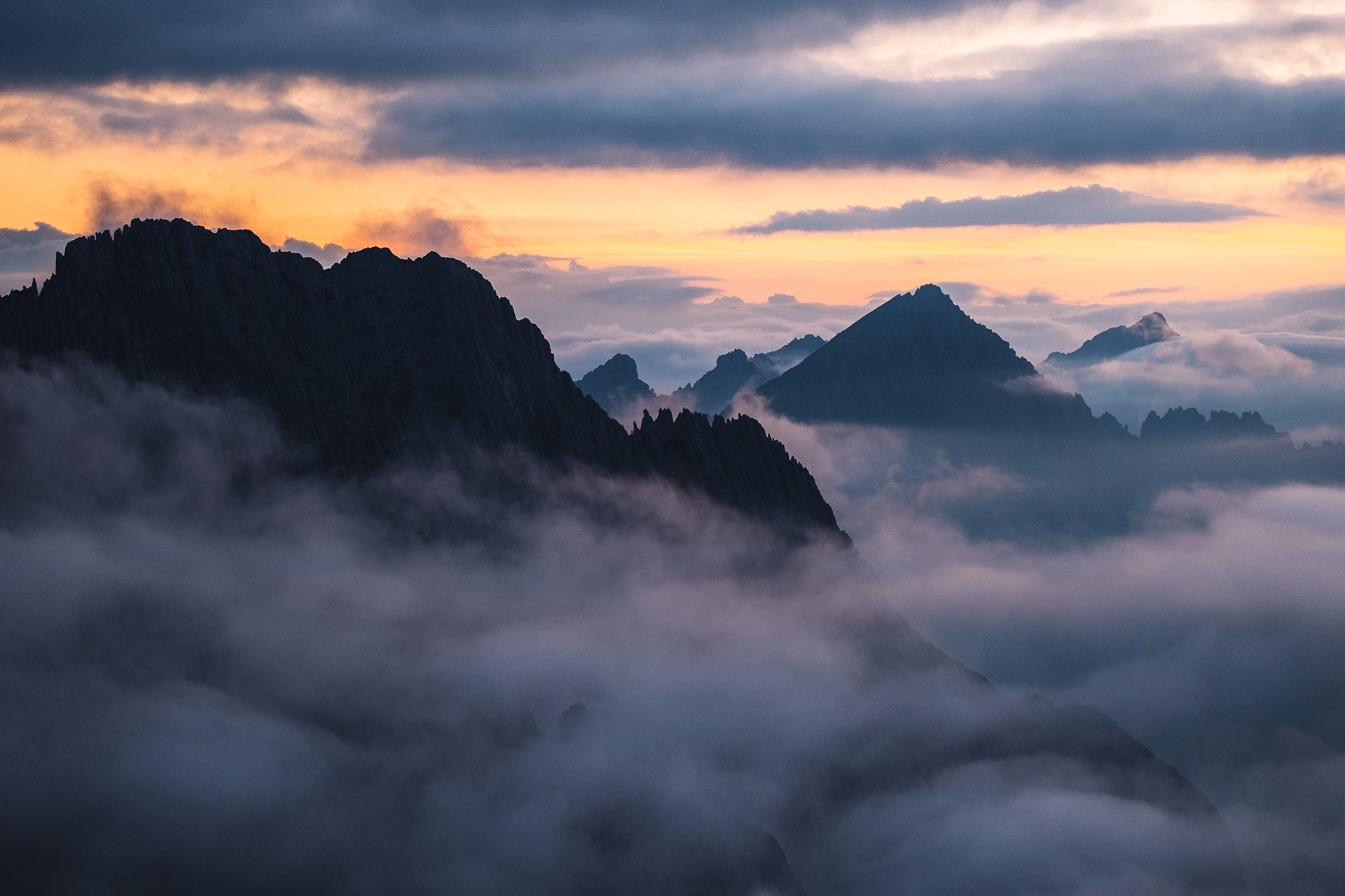
The rain has stopped some hours ago. However, clouds are still clinging to the mountain slopes, creating a mystic atmosphere.
The rain has stopped some hours ago. However, clouds are still clinging to the mountain slopes, creating a mystic atmosphere.
The search
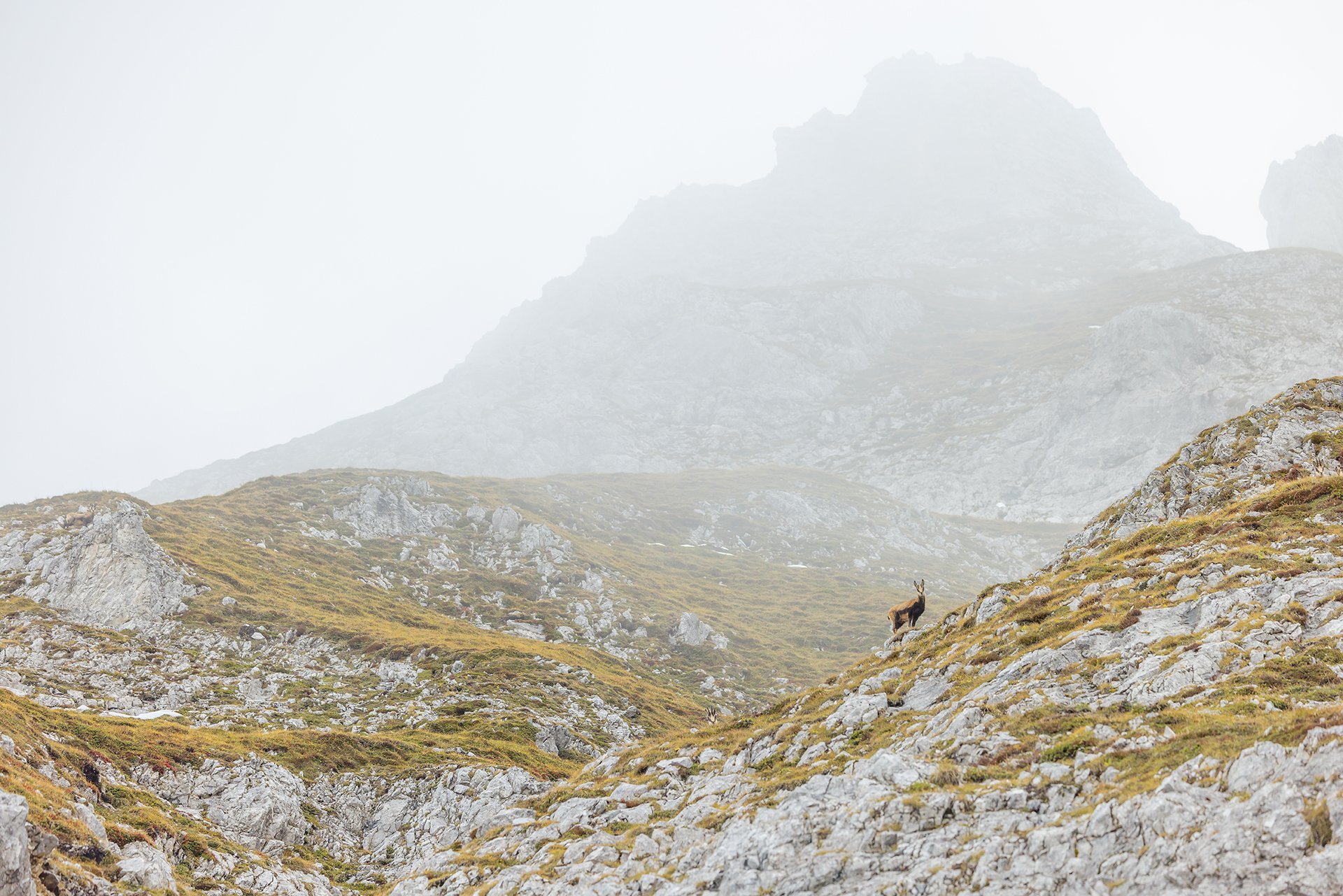
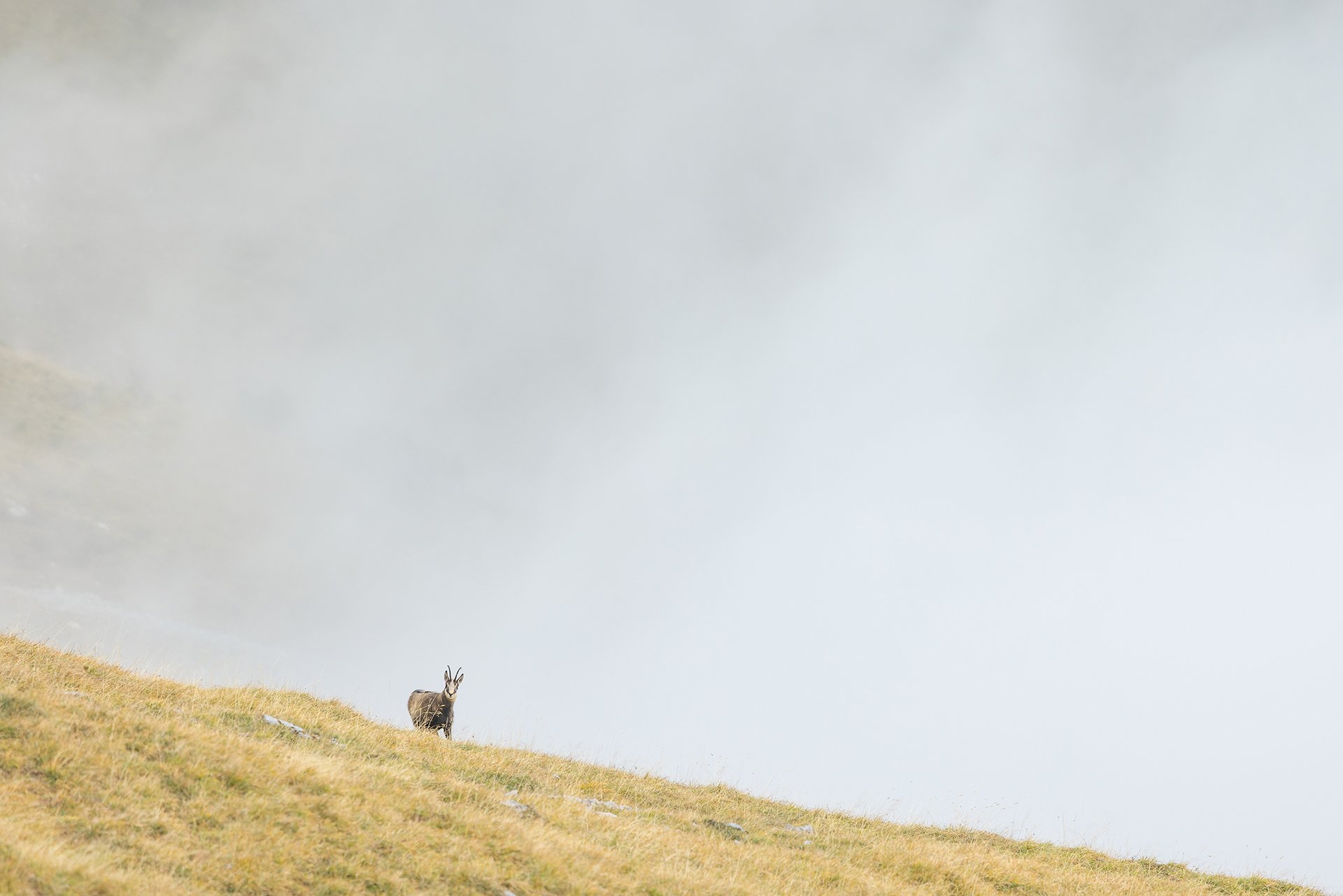
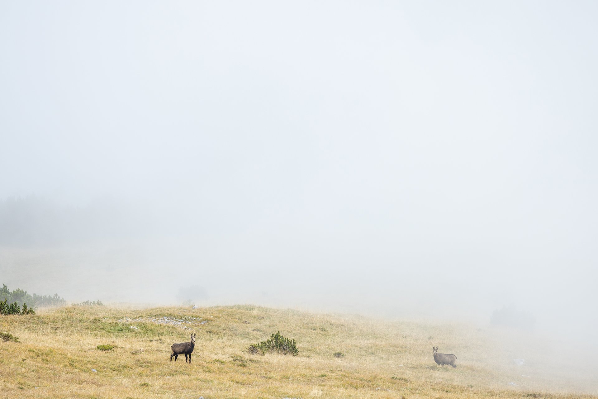
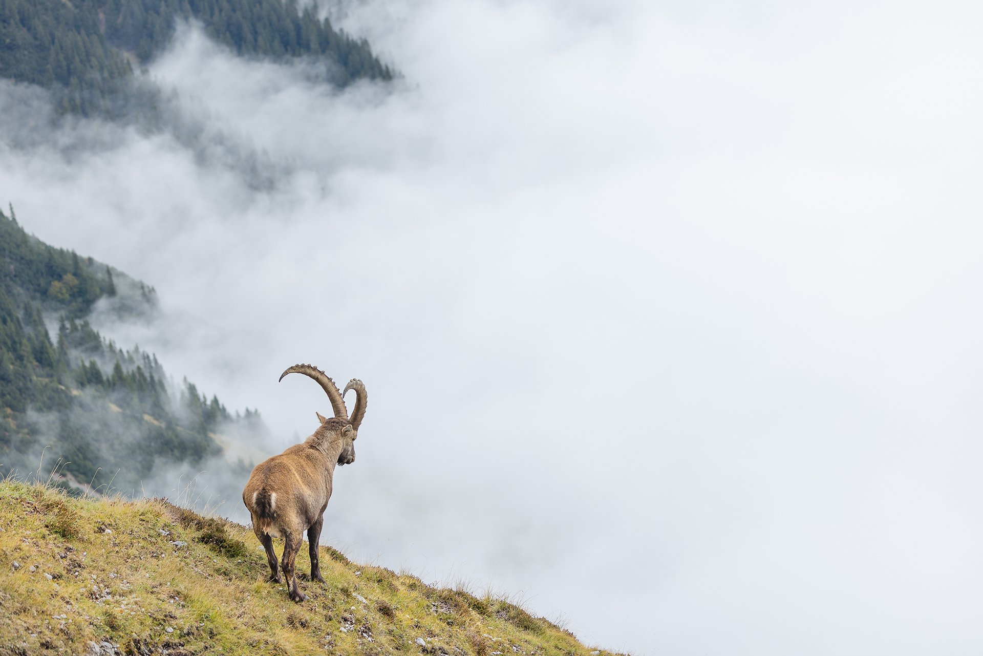
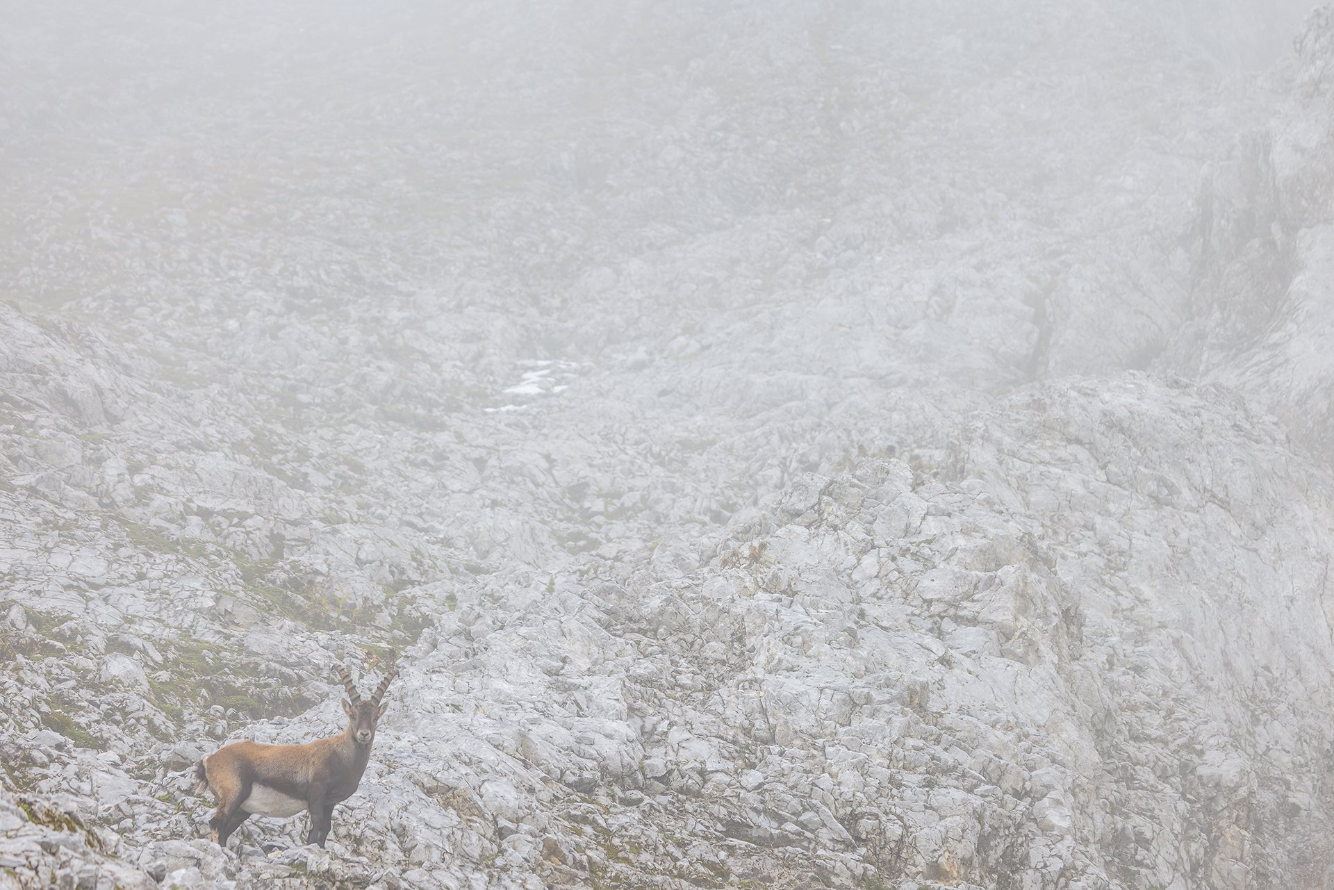
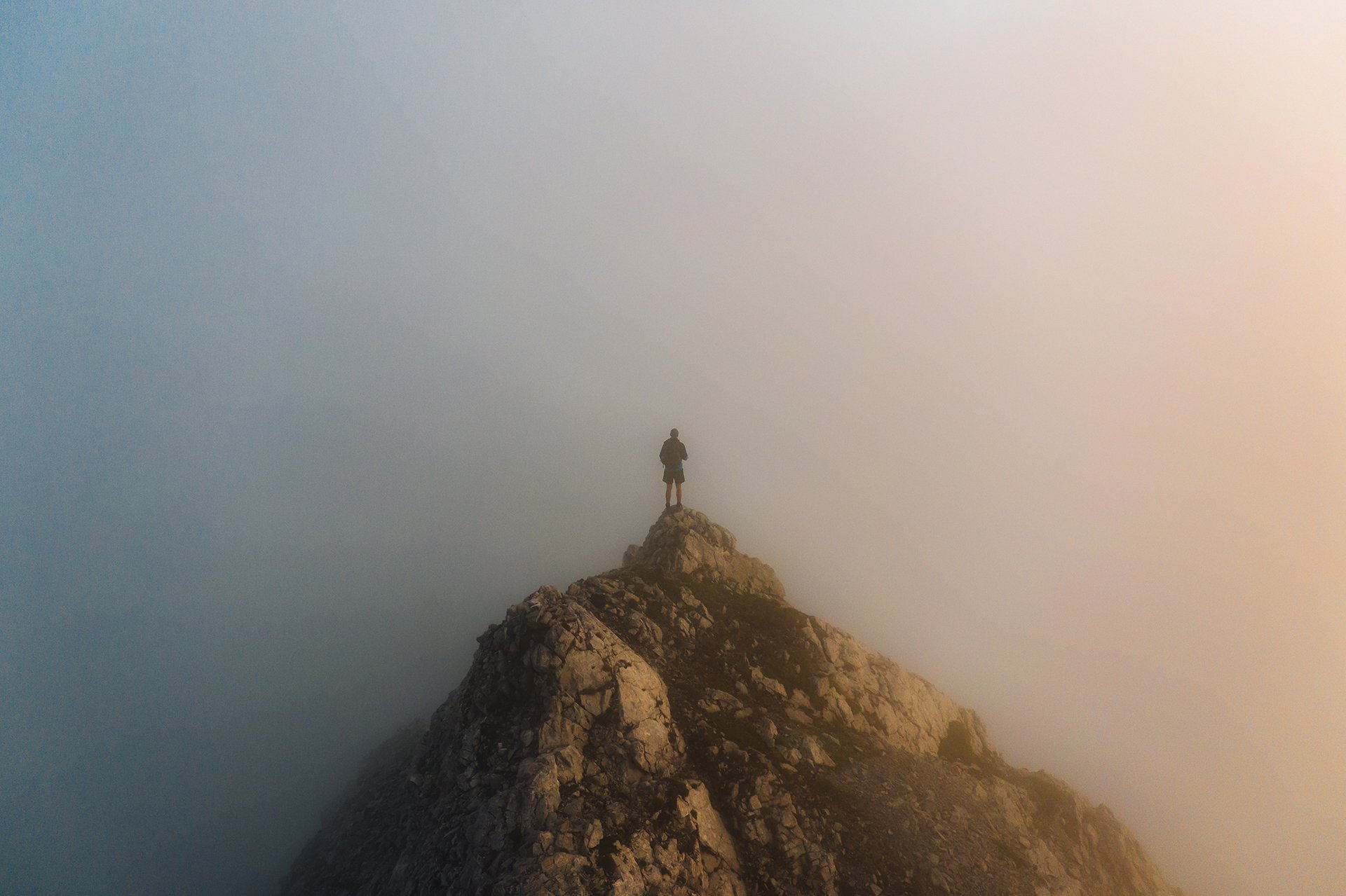
As I hike along, my eyes are constantly scanning the surroundings looking for anomalies. I sense a movement to my right. Something is moving in the clouds. Have I finally found the ibexes, I am looking for? As the clouds drift, I recognise another chamois emerging from the grey mist. It is not the first one, nor the last one I will see today.
In the clouds
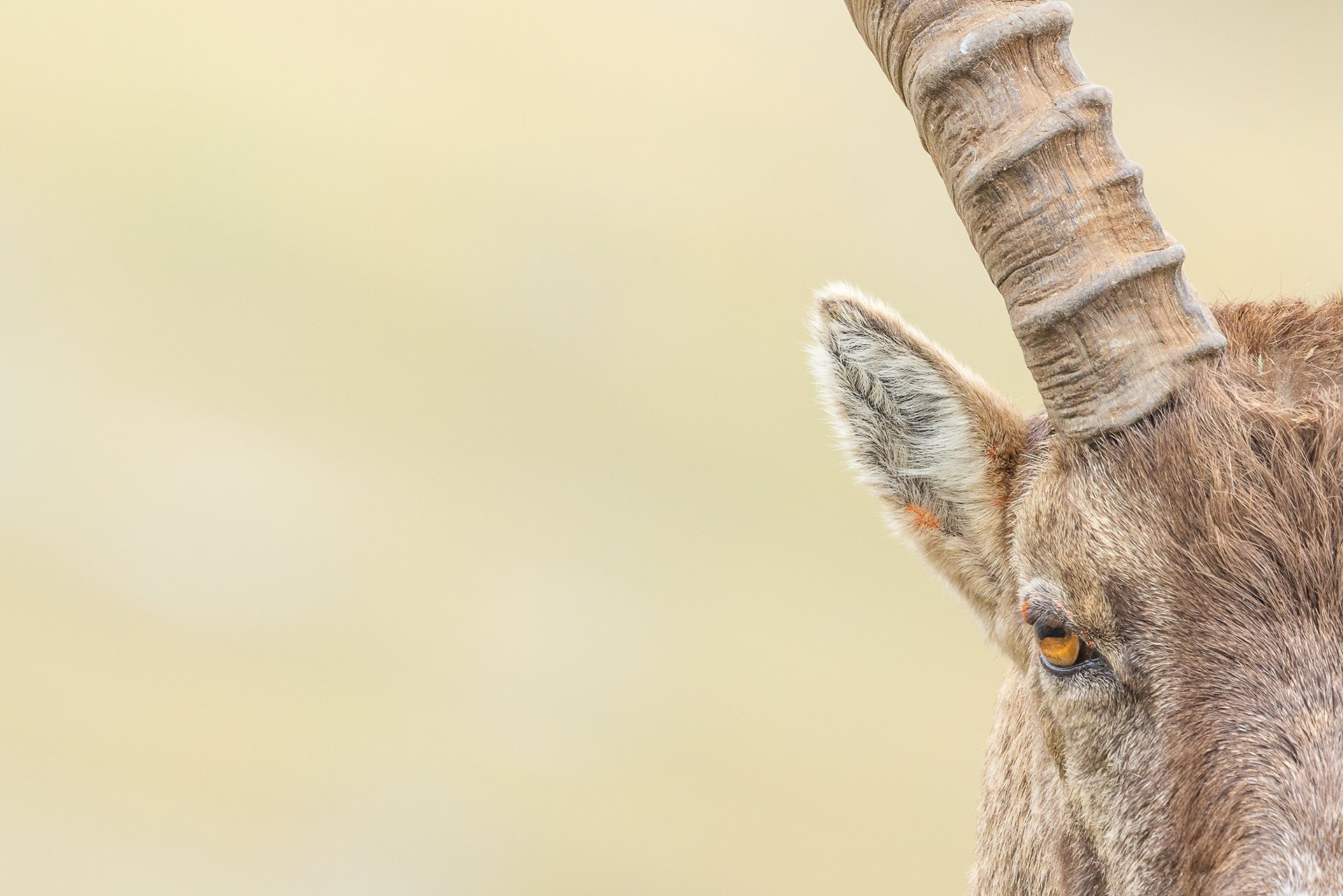
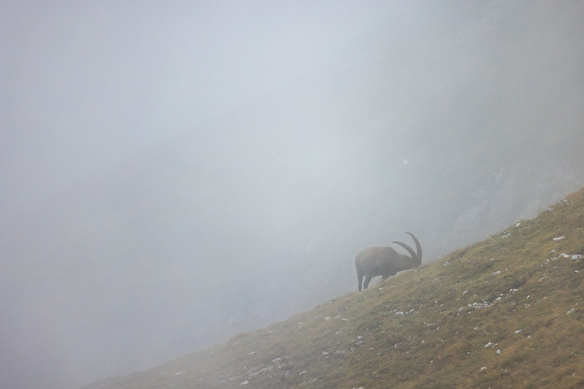
Moving in and out, the clouds engulf myself from time to time, narrowing my view down to only a few meters. Suddenly, a dark shadow with big, curved horns emerges from the clouds in front of me. The clouds are starting to slowly move down the mountain slope again, uncovering three ibexes feeding on the grass next to path.
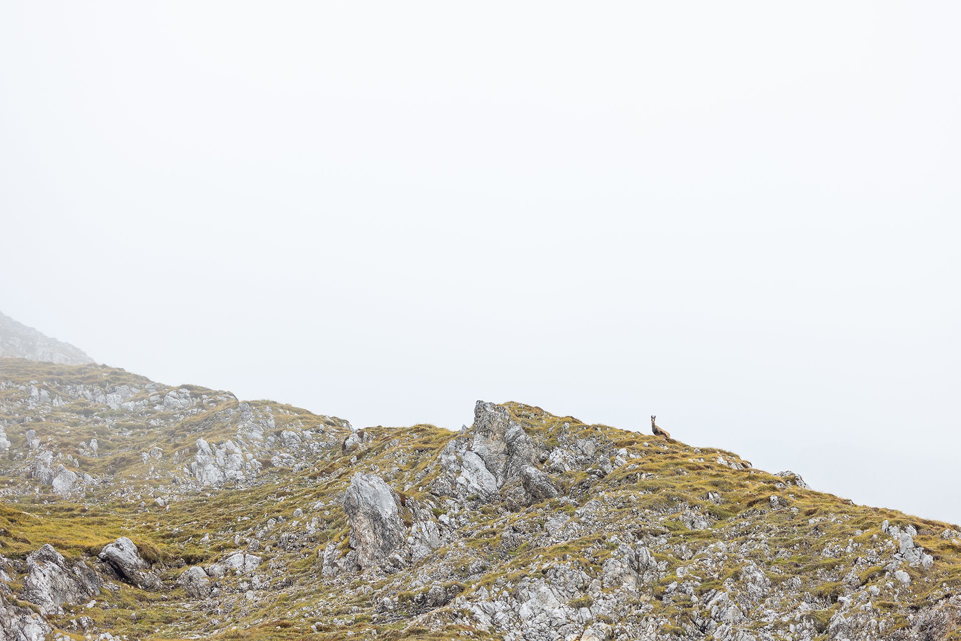
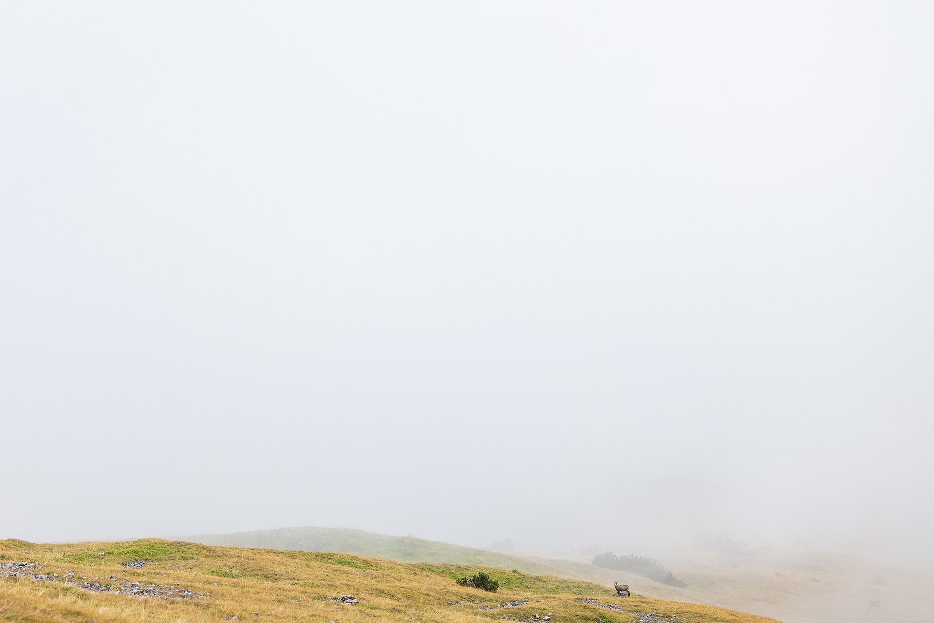
White
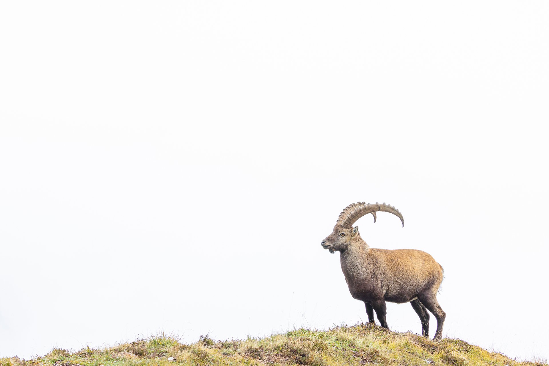
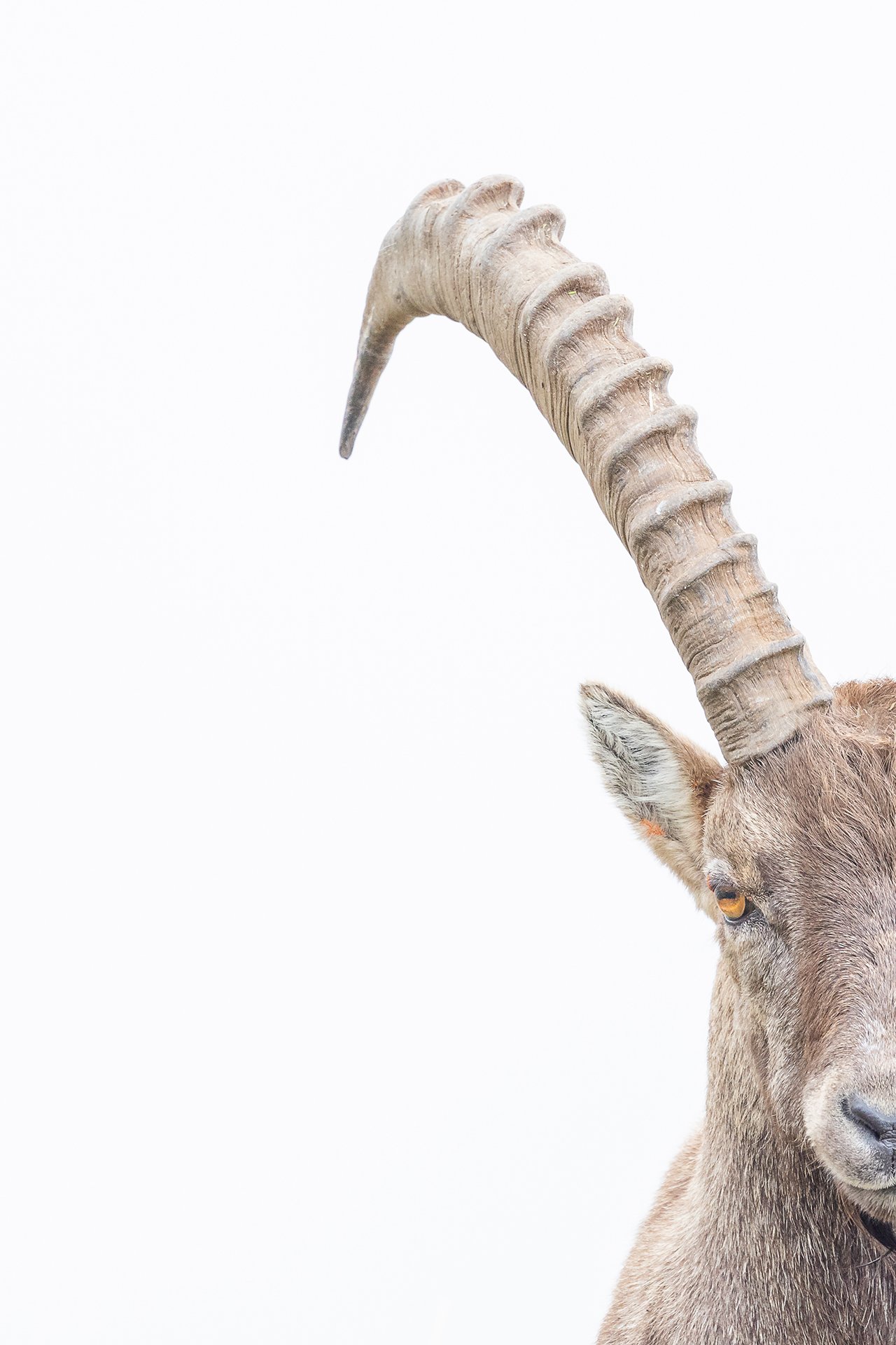
The clouds do me a favour and stay lower in the valley, offering me the opportunity to create minimalistic photos with a white background. Time passes quickly and eventually it is time go home. Satisfied I return down to the valley and into the clouds.
Hiking Wisdoms
When hiking there is lots of time to think and philosophize about life, especially when being on a solo tour. In this second episode I want to share some of my philosophical wisdoms I gained during two tours. (Do not take it too serious, irony involved)
When hiking there is lots of time to think and philosophize about life, especially when being on a solo tour. In this second episode I want to share some of my philosophical wisdoms I gained during two tours. (Do not take it too serious, irony involved)
I had a slight déjà-vu, as I found myself yet again on a mountain bike to start a tour. However, this time I had at least managed to take a smaller backpack.
It was another hot summer day, but as I got closer to the top, more and more clouds moved in. It seemed like this summer does not want to let me experience some good sunsets… (I can not wait for fall and more stable conditions)
When I finally reached the top, greyish clouds surrounded me. However, there was still some time left until sunset, so I decided to wait and hope for the best. I did not bring a book this time, because the backpack was too small, so I roamed around and explored the terrain. (Wisdom no. 1: smaller and lighter is not always better, at least when you have time and want to read a book)
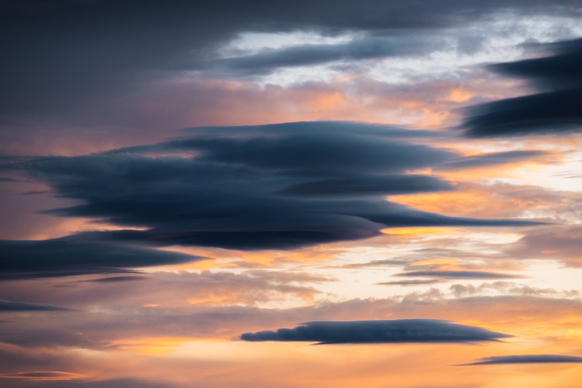
While it got closer to sunset, the clouds started to glow in a golden color. However, I was still in the clouds and could not see anything.
Only a couple of minutes before sunset, the clouds started to part, opening the view to the surrounding mountains. It was a true spectacle before it got dark. (Wisdom no. 2: always stay till the end, unless it is dangerous and thunderstorm is coming)
After those magical moments, it was time to head back down to the city.
For the second tour it was time to tackle higher mountains. During some research, I had found a rarely visited 3000-meter peak I wanted to climb. This time my girlfriend Luisa accompanied me. (Ohh, and no biking was involved, yeah!)
While the first half of the tour was a marked and popular hike trail, the second half required navigating up a unmarked side valley and a steep, with boulders and scree covered slope to a ridge.
From the distance, it looked impossible to get up to the ridge. However, as we got closer, it started to look more doable, so we gave it a try. First we scrambled over big boulders, but as we got higher, the boulders got smaller and smaller. Carefully placing each step and hand, we tried to find the best way up the loose scree. (Wisdom no. 3: Get closer and change the perspective and you will find a way, even if the way means turning around and going home)
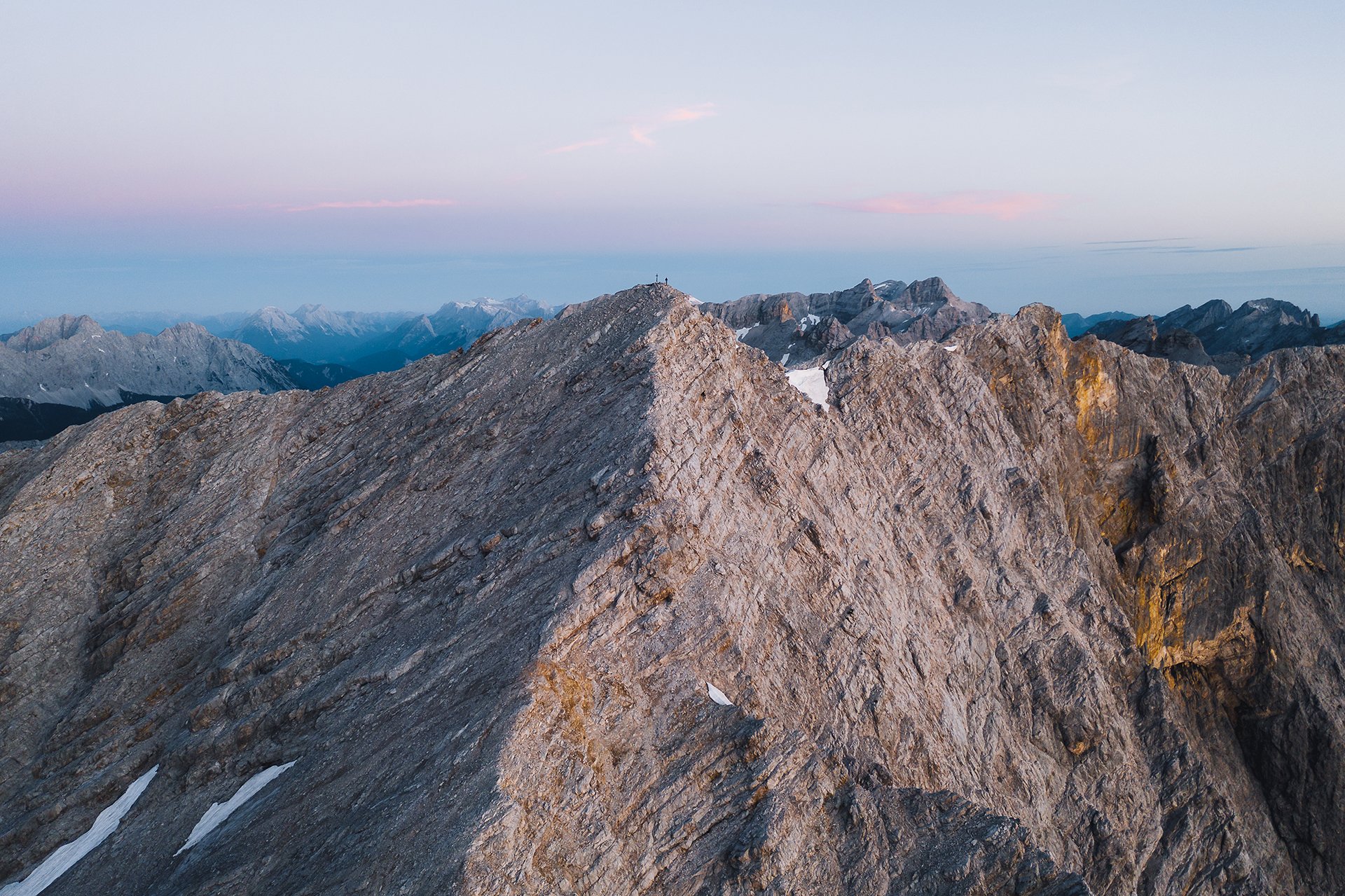
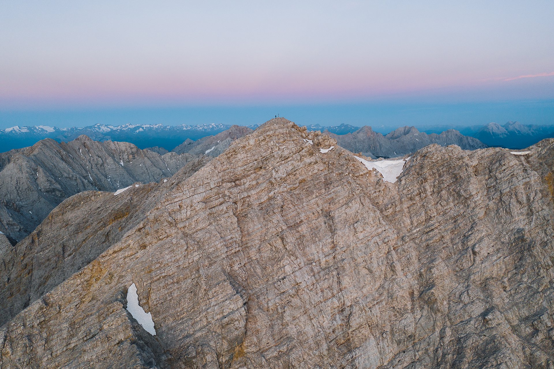
It took us more time than we initially had thought to get up to the ridge. The sun had already started to set behind the mountains, as we were finally standing on the ridge and got a first view on the summit we had planned to climb.
To reach our goal, we would have to descend around 100 meters and scrambled up another steep slope covered with boulders, without knowing if we could actually sleep up there. Therefore we decided to stay and enjoy the view from the peak we were on. But I will definitely come back and climb it. (Wisdom no. 4: The way is the goal, at least if it is scenic and offers as great views as the original goal 😉 )
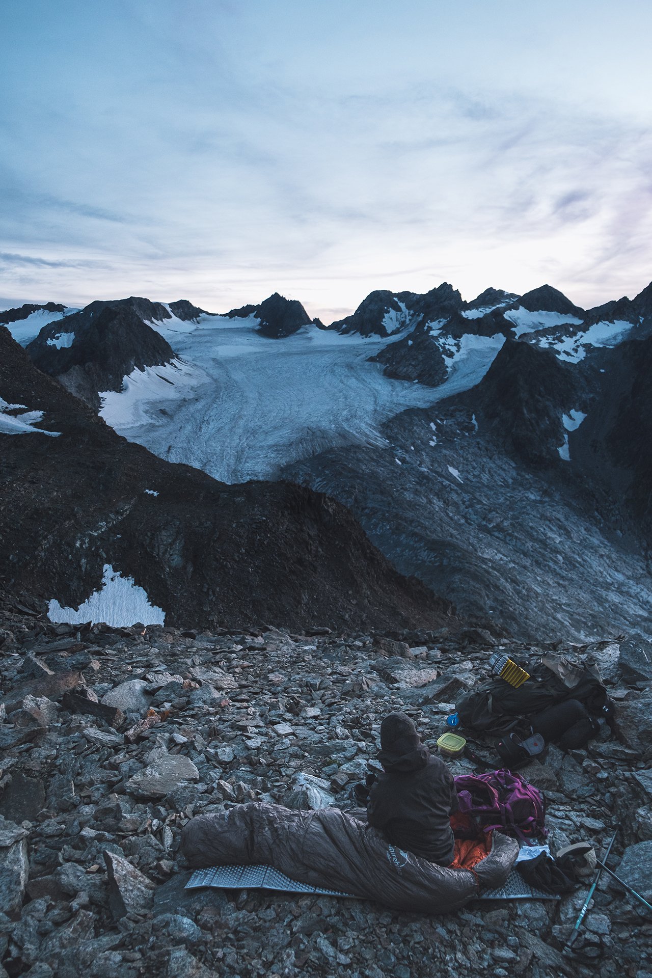
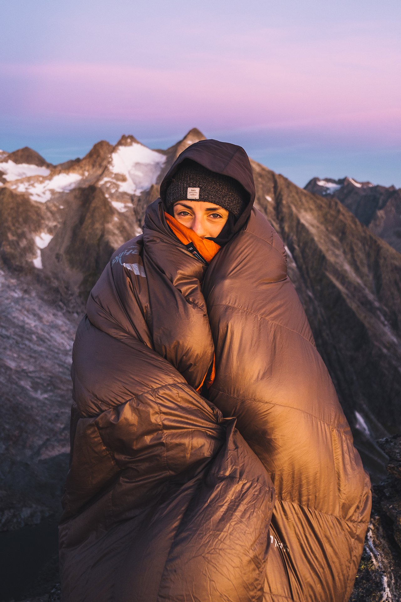
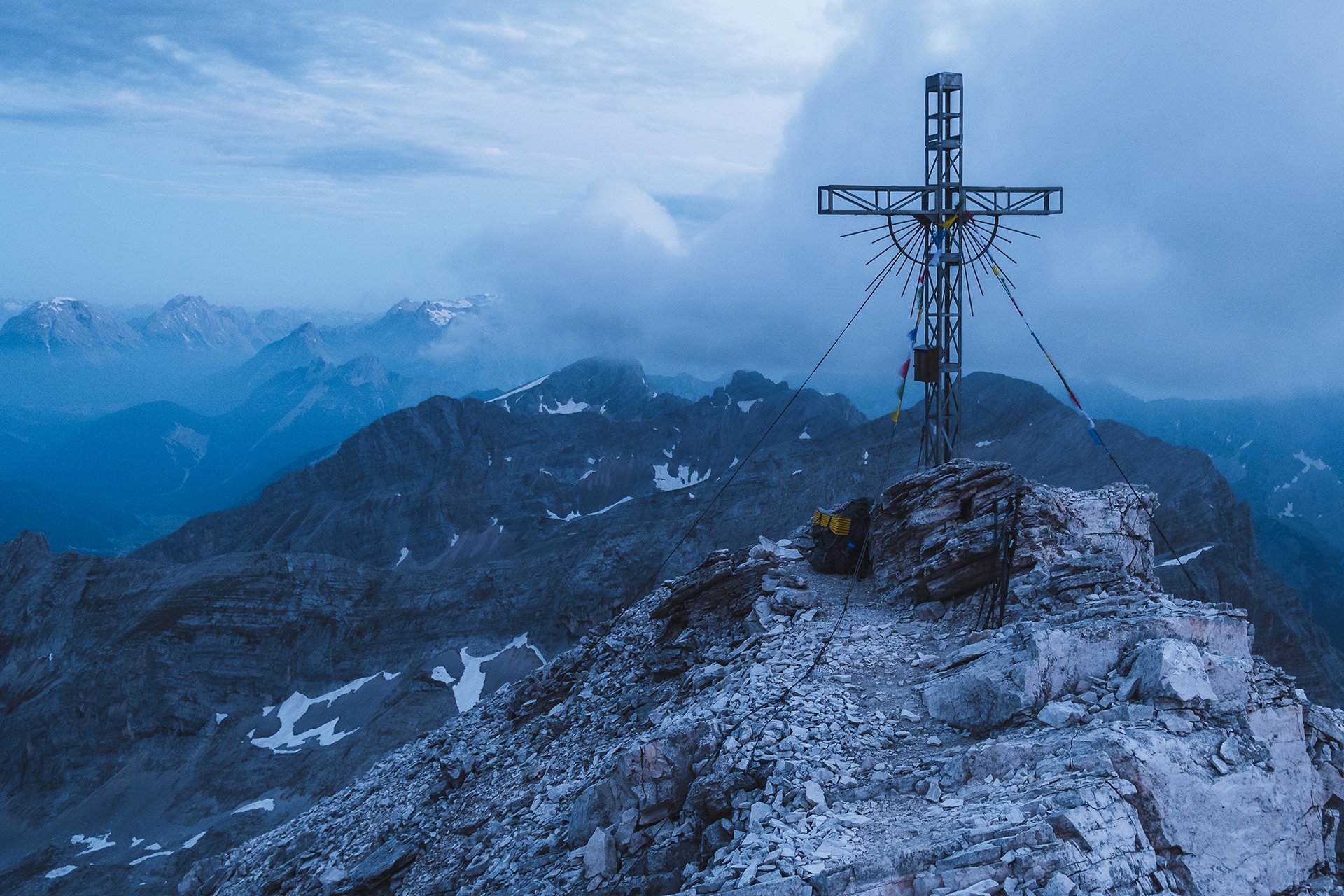
After a cool and windy night at nearly 3000 meters (we missed the 3000 meter mark by 5 meters), it was time for me to “force” Luisa out of her sleeping bag for the sunrise. She normally likes to watch the sunrise straight from our sleeping place without leaving the warmth of her sleeping bag, while I run around in the cold to take pictures… This time she got up and just wrapped the sleeping bag around her like a blanket to fend off the cold.
Later, after we had already reached the marked hiking path, I heard a scream behind me. I quickly turned around to Luisa. The reason for the scream was a snake on the path. The snake quickly made its way into the grass and we continued on. Luisa now placed her feet more carefully. (Good that I did not mention the high chances of coming across snakes here to Luisa, especially as a good portion of the way was across pathless, grass covered terrain… (Wisdom no. 5: maybe do not always tell all small details of a tour before))
Eventually we made back down without any more snake incidents.
Scree
Scree describes loose broken rocks on a side of a mountain.
Scree describes loose broken rocks on a side of a mountain
Lots of scree, inaccurate weather reports, a really short night due to some little friends and exhausting hikes in pathless terrain. That’s how the two tours of the first episode could be summarized. But let’s start from the beginning:
The first tour seemed pretty straight forward, at least theoretically, as there was a path indicated on the map. However, I was tricked. There were no trail marks and about 5 minutes later I had already lost the trail…
Not the best way to start things off.
I eventually found the trail again and fought my way through mountain pines and stream beds. With reaching the scree, the trail completely vanished. So I tried to find my own way up the scree and over boulders. The only good thing about not having any trail: I could not lose the trail…
After a last scramble over some lose rocks I finally reached the top. Exhausted, it was time for a dinner with an awesome view and to get ready for the sunset. And once again I was fooled, this time by the weather report. The promised blue sky was filled with clouds. However the sun managed to sneak through and created an awesome mood.
The second tour started with a 20 km bike ride. Not so much fun with a big and heavy backpack on your back.
Happy to eventually leave the bike behind and start hiking, I followed a trail for the first half up the mountain. Once I left the trail, it was time to find a way up to the ridge towards the summit. After making my way up a steep scree, with two steps forward and one step back, I finally reached the ridge. Carefully I scrambled up the ridge to the summit.
Happy to finally reach the top, it was time to put the heavy backpack down and get some much needed calories in as I burned over 7000 kcal that day. I guess I probably should work on packing a little bit lighter next time…
Again the weather report fooled me and I witnessed another not so sunny sunset. But that’s how it is in the mountains. It is always a little gamble. However, it is worth it.
I set up my sleeping place right next to the summit cross and tried to get somewhat comfortable on my thin sleeping pad.
However, my night was cut really short. In the rocks around the summit lived at least one or two pretty noisy and active mice. They kept me awake for almost the whole night.
Though as I was the intruder in their home, I had no right to be angry. And at least I had a lot of time to admire the milky way, see some shooting stars and finish reading my book (really wanted to find out how it ended anyways).
Of course I finally fell asleep right before my alarm clock went off. Tired, I crawled out of my sleeping bag, but the scenery helped me quickly to wake up. (Or was it the cold wind and cool temperatures?)
Eventually it was time to tackle the long way back. This time I was really happy to reach the bike and ride back, not having to walk anymore.


